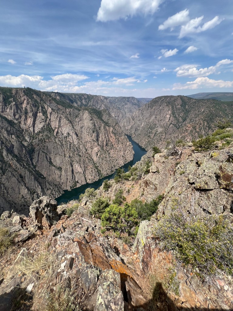
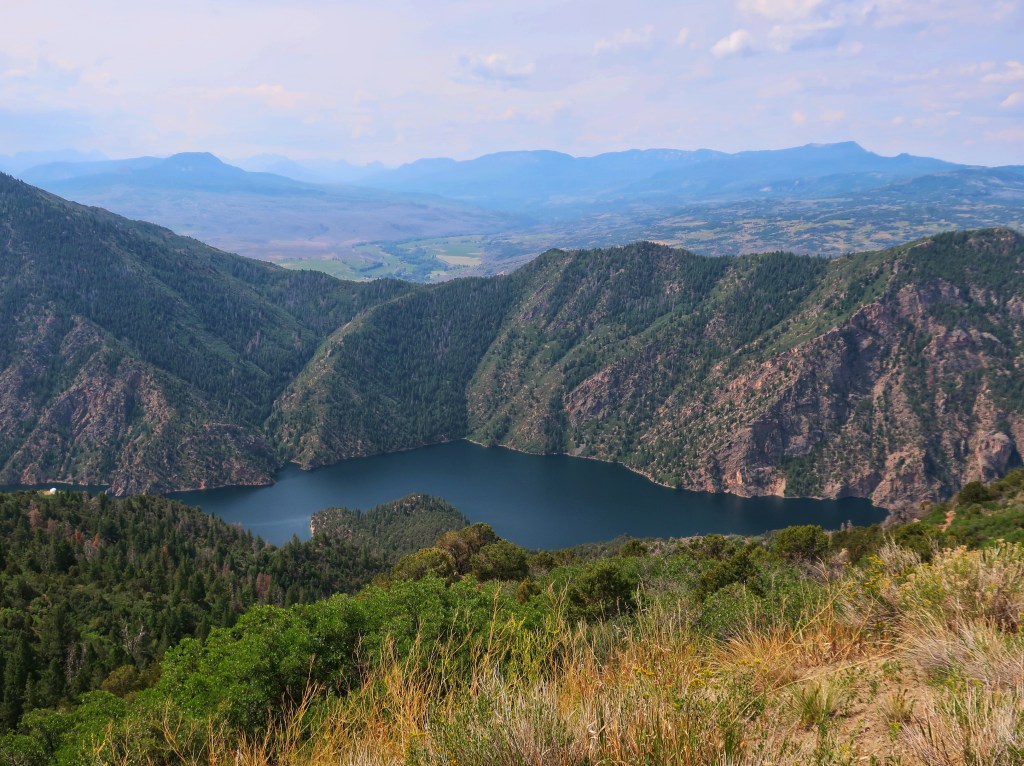
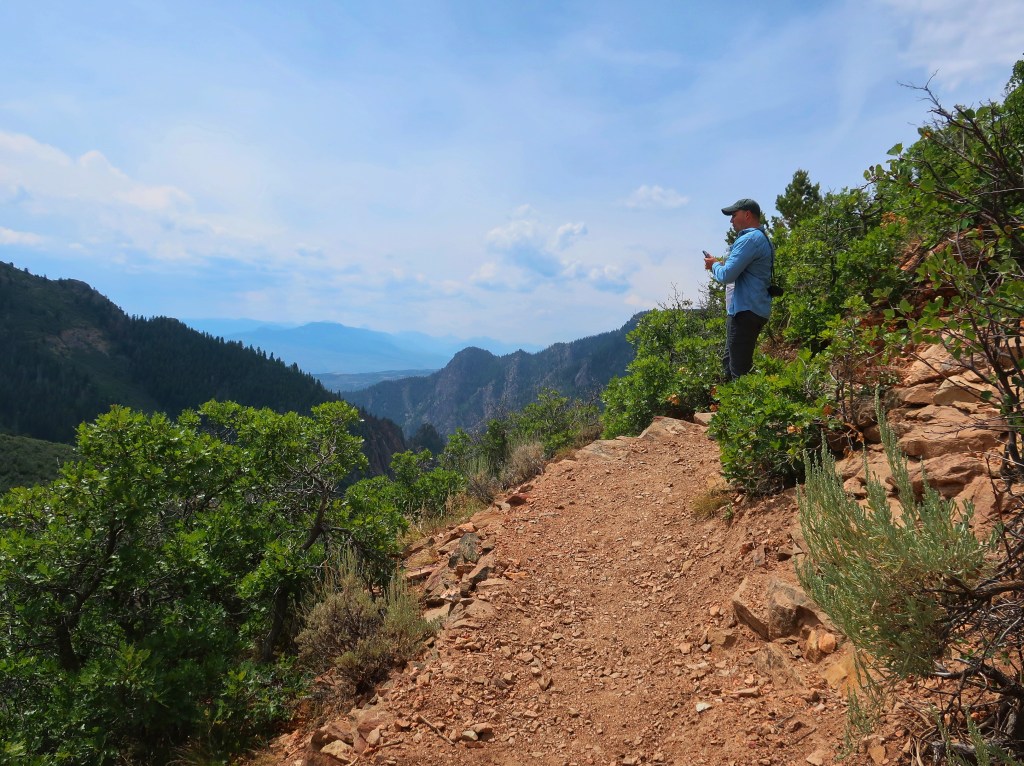
The day started clear and cool with temps just shy of 50. This was our “easy” day to ride less, do laundry, and start packing what we can. Since the Black Canyon of the Gunnison National Park is closed, we thought we would ride up Hwy 92 which runs on the north rim side. Turns out you can see the wider and less deep southern end of the canyon which is not in the park.
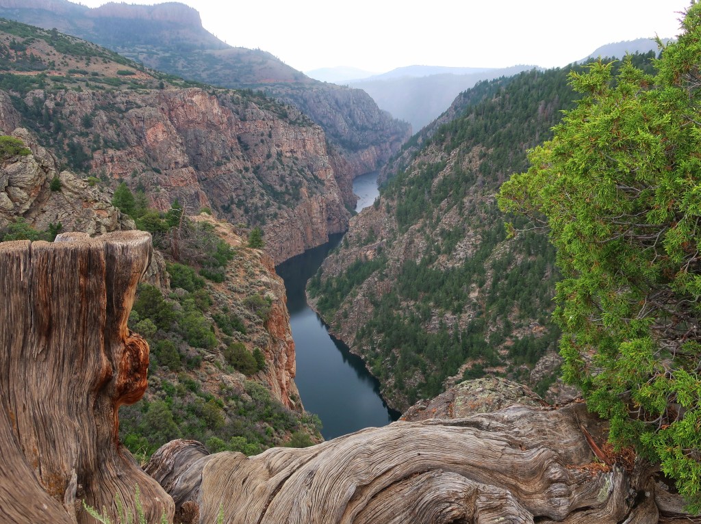
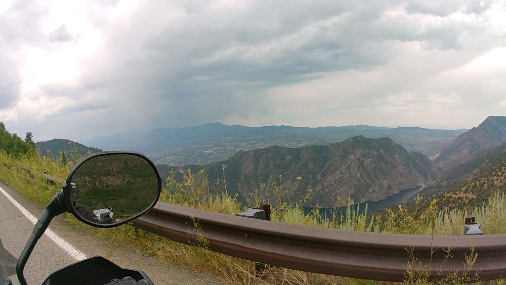
The Black Canyon is so named because its steepness makes it difficult for sunlight to penetrate into its depths. As a result, the canyon is often shrouded in shadow, causing the rocky walls to appear black. At its narrowest point the canyon is only 40 ft wide at the river. The walls range in height from 1800 to over 2700 feet with sheer vertical walls in places. The Statue of Liberty would be dwarfed if on the canyon floor.
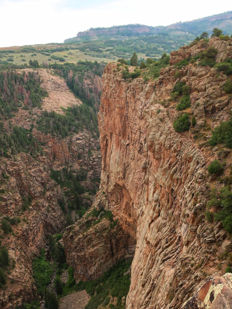
The Gunnison River drops an average of 34 feet per mile through the entire canyon, making it the 5th steepest mountain descent in North America. By comparison, the Colorado River drops an average of 7.5 feet per mile through the Grand Canyon. The greatest descent of the Gunnison River occurs within the park at Chasm View dropping 240 feet per mile. The extreme steepness and depth of the Black Canyon formed as the result of the Gunnison River carving the canyon, though several other geologic events had to occur in order to form the canyon as it is seen today.
We had a good day although not what I originally planned. The smell of smoke was in the air at times and you could see a few dark pillars of smoke rising on the south rim. This fire was just an inconvenience for us. It will be impacting the local communities for years to come.


such beautiful pictures, and the history of the pictures is so amazing, what a great job of keeping us informed of you all trip can’t wait to read the next one
LikeLike
Stunning pictures! Glad the weather was nice for you guys and you were able to take in some of the canyon, it is really something to see🏍️⛰️
LikeLike