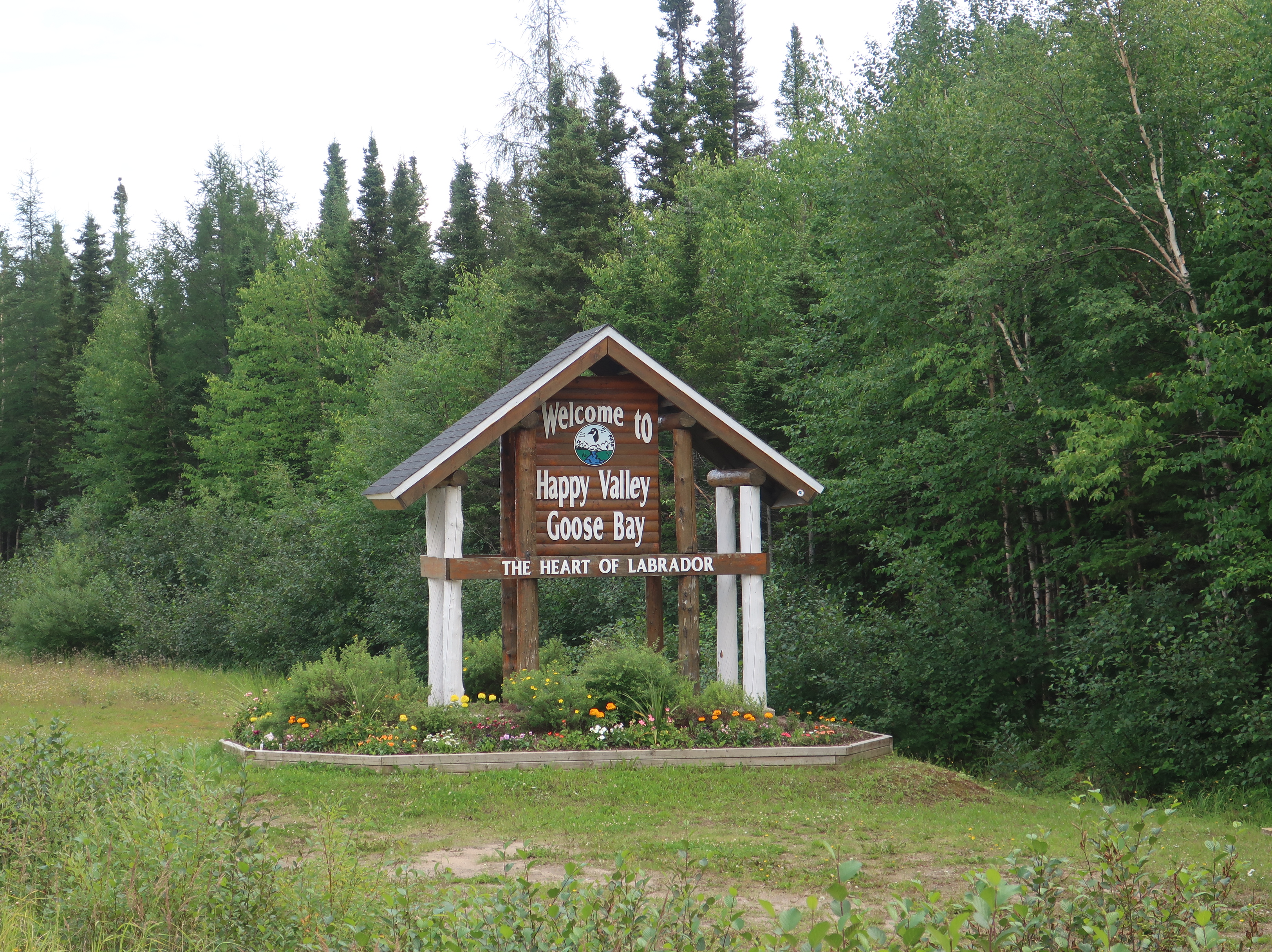
Construction of the Trans-Labrador Highway (TLH) began began in 1992 to connect western Labrador to the centrally located Happy Valley-Goose Bay. In 1999, Canada extended the highway East to Port Hope Simpson on the coast. Prior to the TLH, these communities were only accessable by boat or plane.
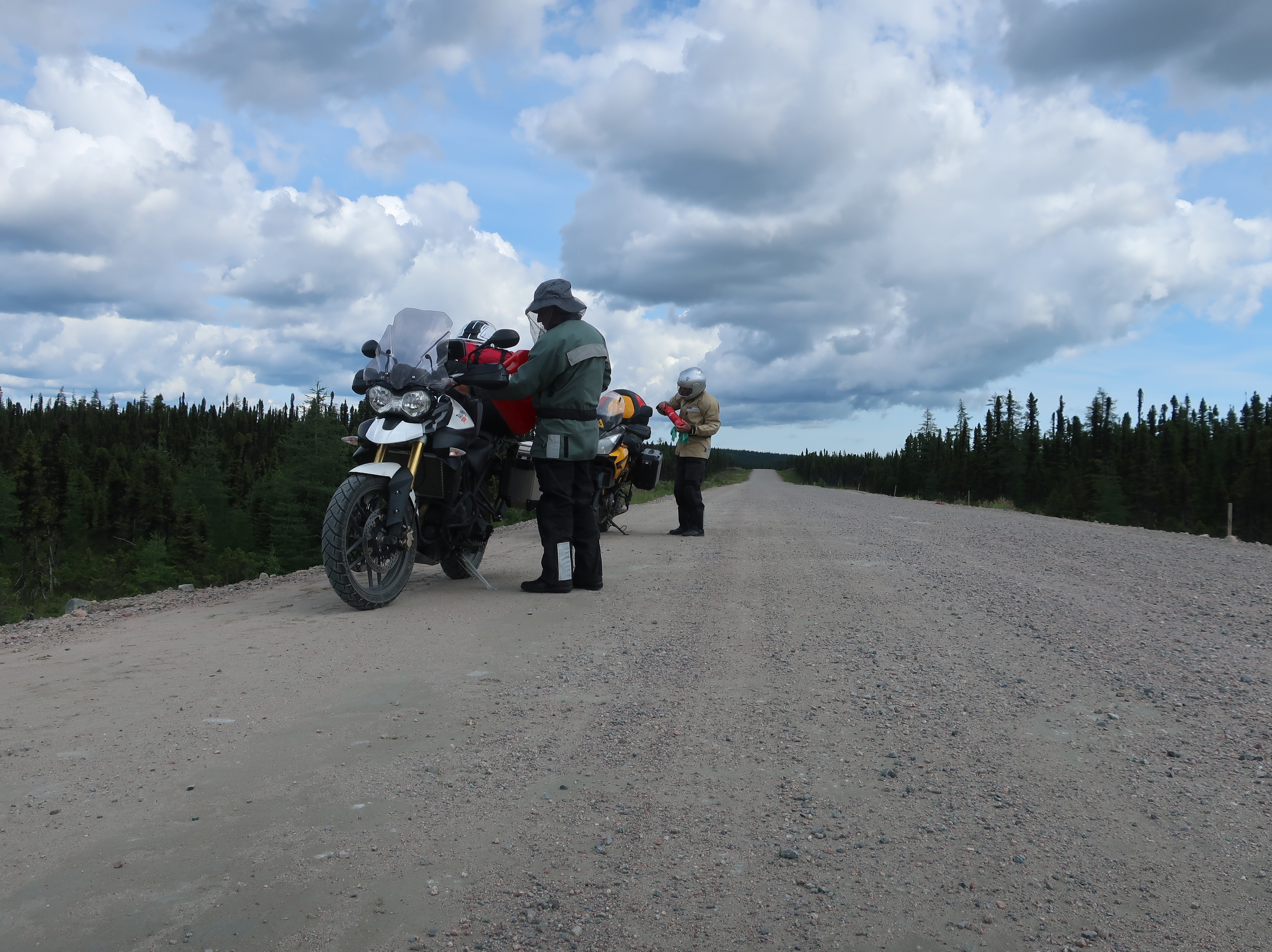
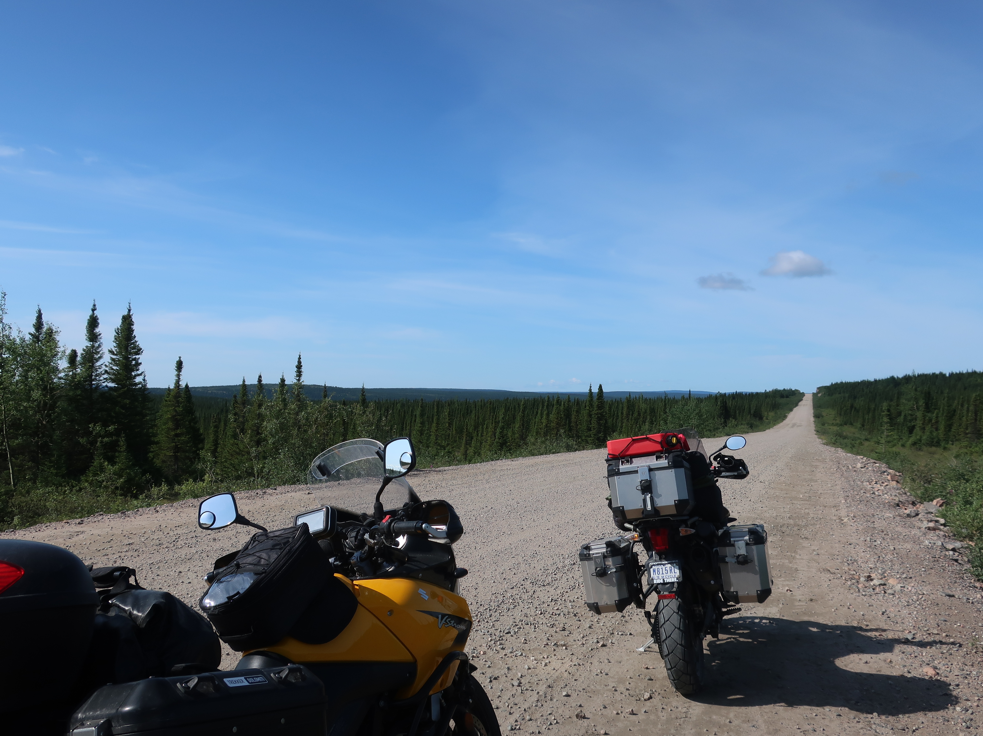
The original 775 mile road was unpaved and unserviced other than services found within the few towns. It is still unserviced but paving is underway. Today, we covered the 250 miles between Port Hope Simpson and Happy Valley-Goose Bay, 130 of which is not paved. Some sections were better than others and there were a lot of construction crews working. It was a little sad to turn away from the coast after seeing the ocean every day for over a week. But it’s also good to be heading towards home.
The dust was terrible today, especially 130 miles of it. We and the bikes were so dirty that we found a carwash in town to knock off the worst of the dust, including turning the spray wand on ourselves. Gore-Tex gear is great!
Daily trivia: “Newfoundland and Labrador” is one province. They were combined several years ago. The total population of the province is around 525,000. A staggering 94% of the population lives on Newfoundland. Of those folks, another whopping 40% live in St. John’s, the capital city. Not sure what the population density is in Labrador, but it’s not much!

Beautiful pictures.
LikeLike