Update for 2020

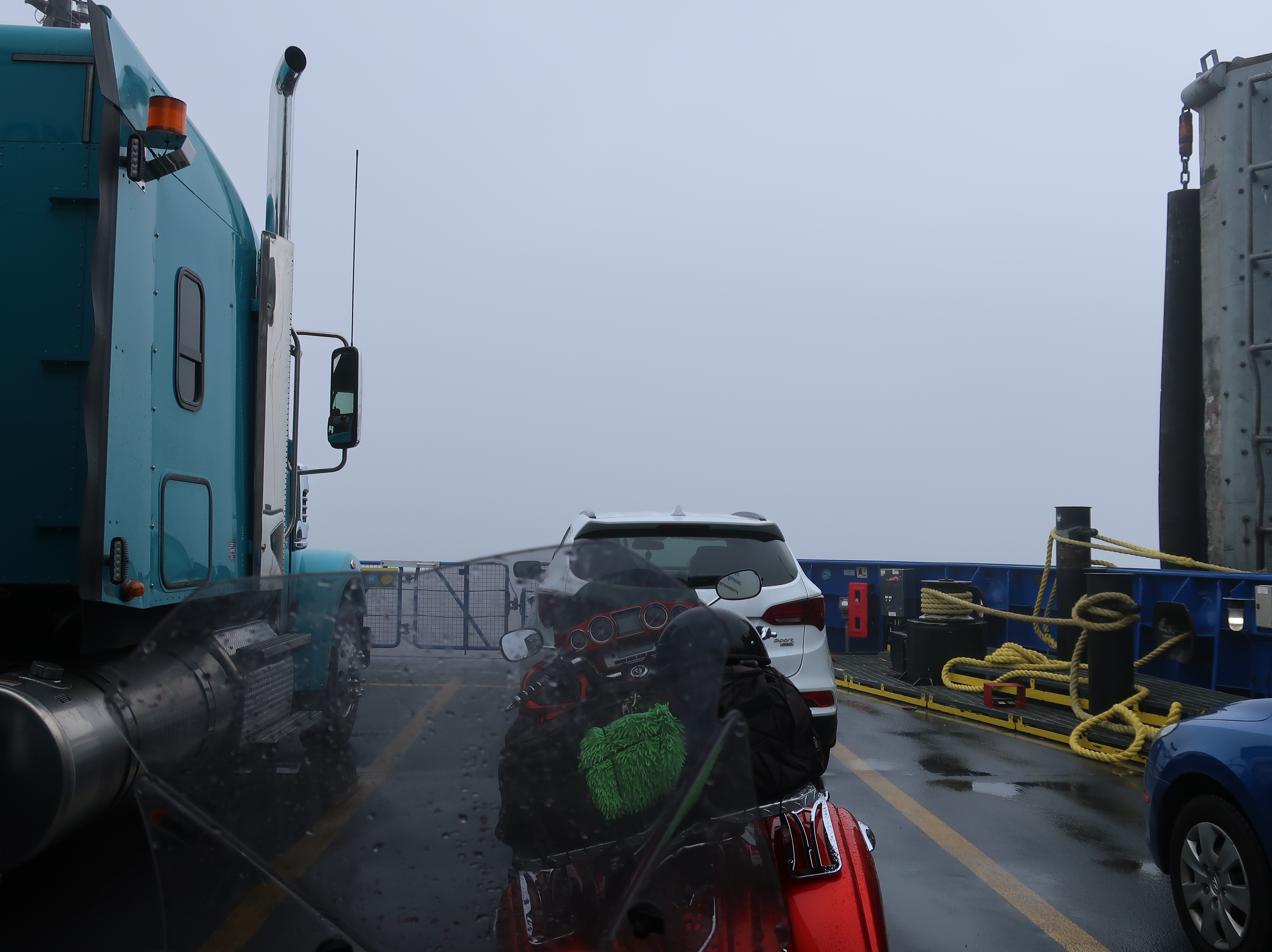
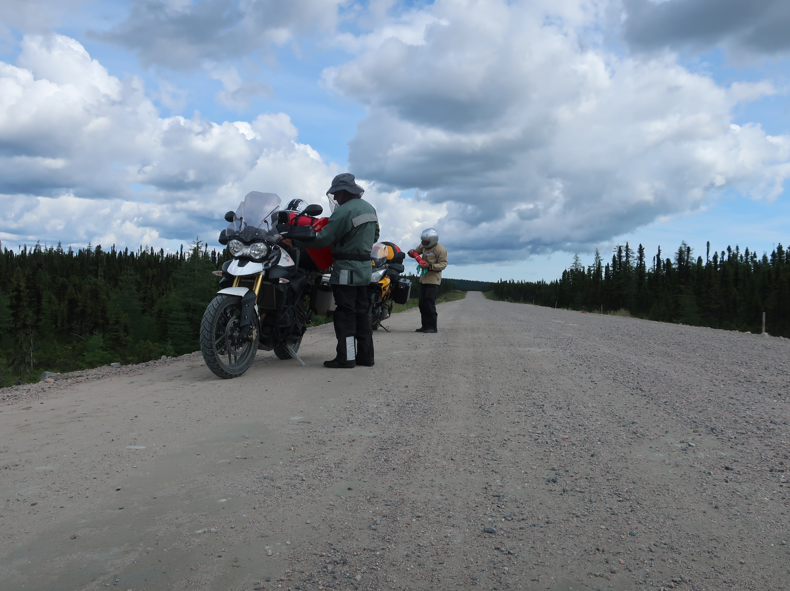
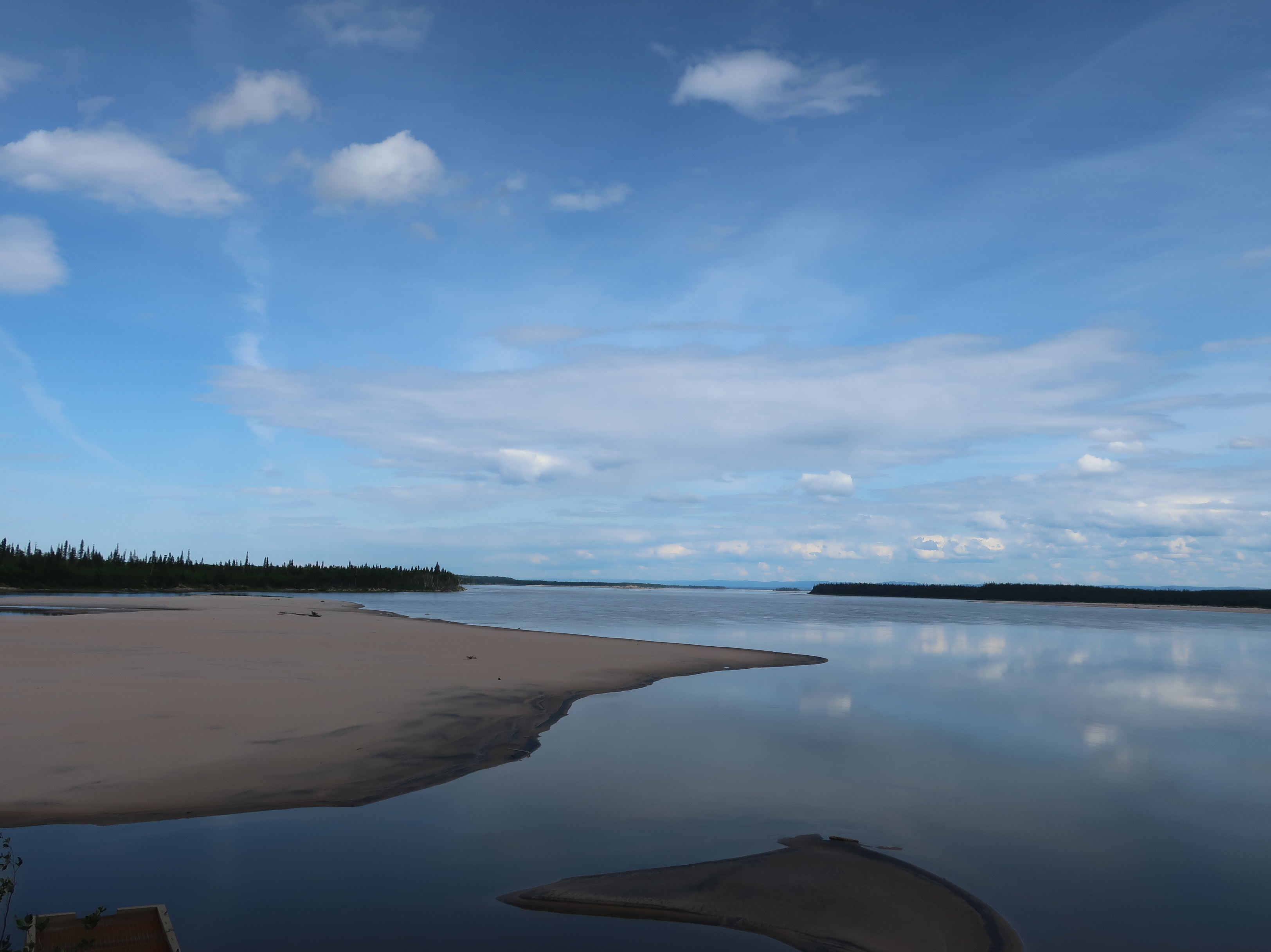
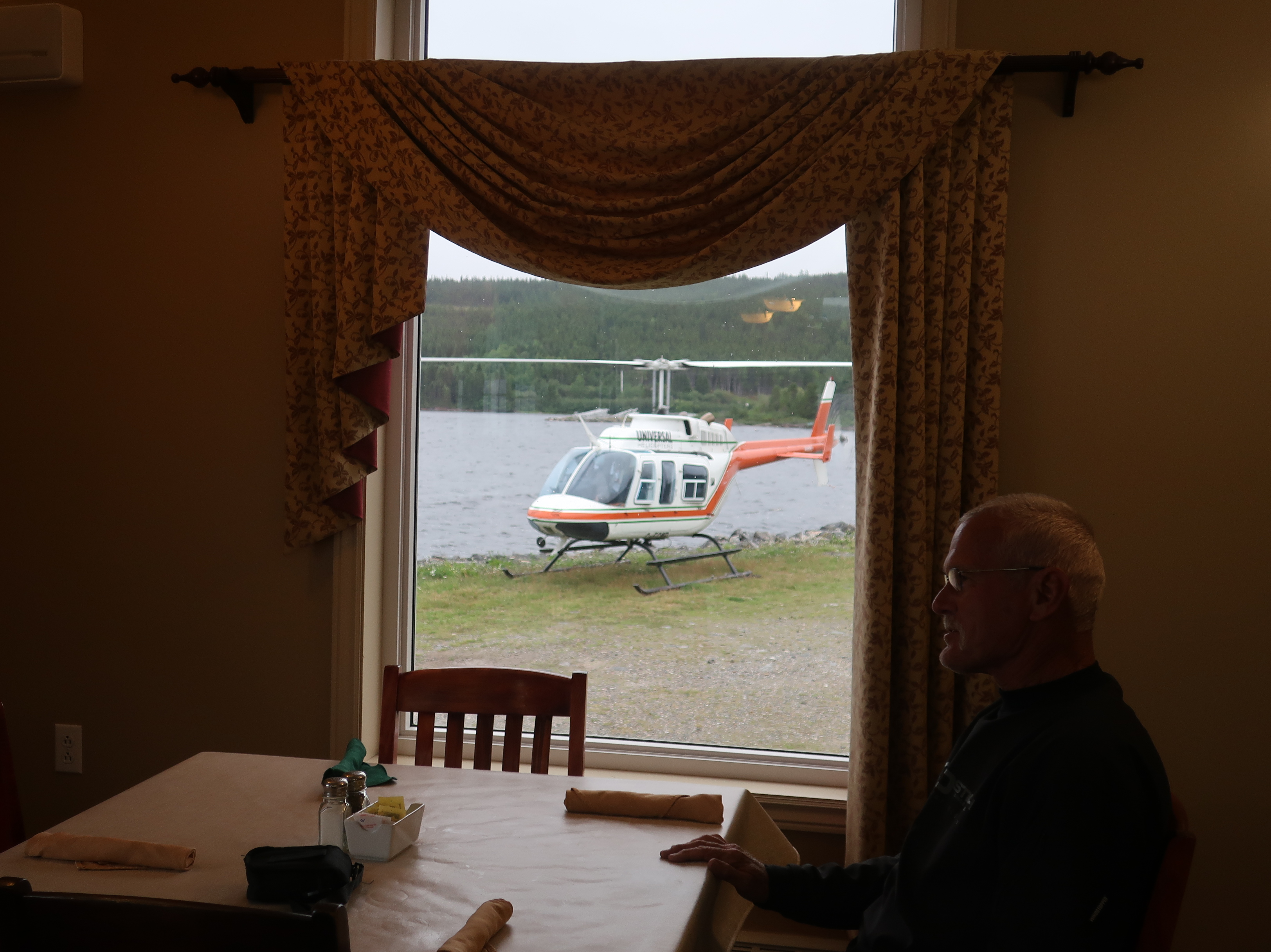
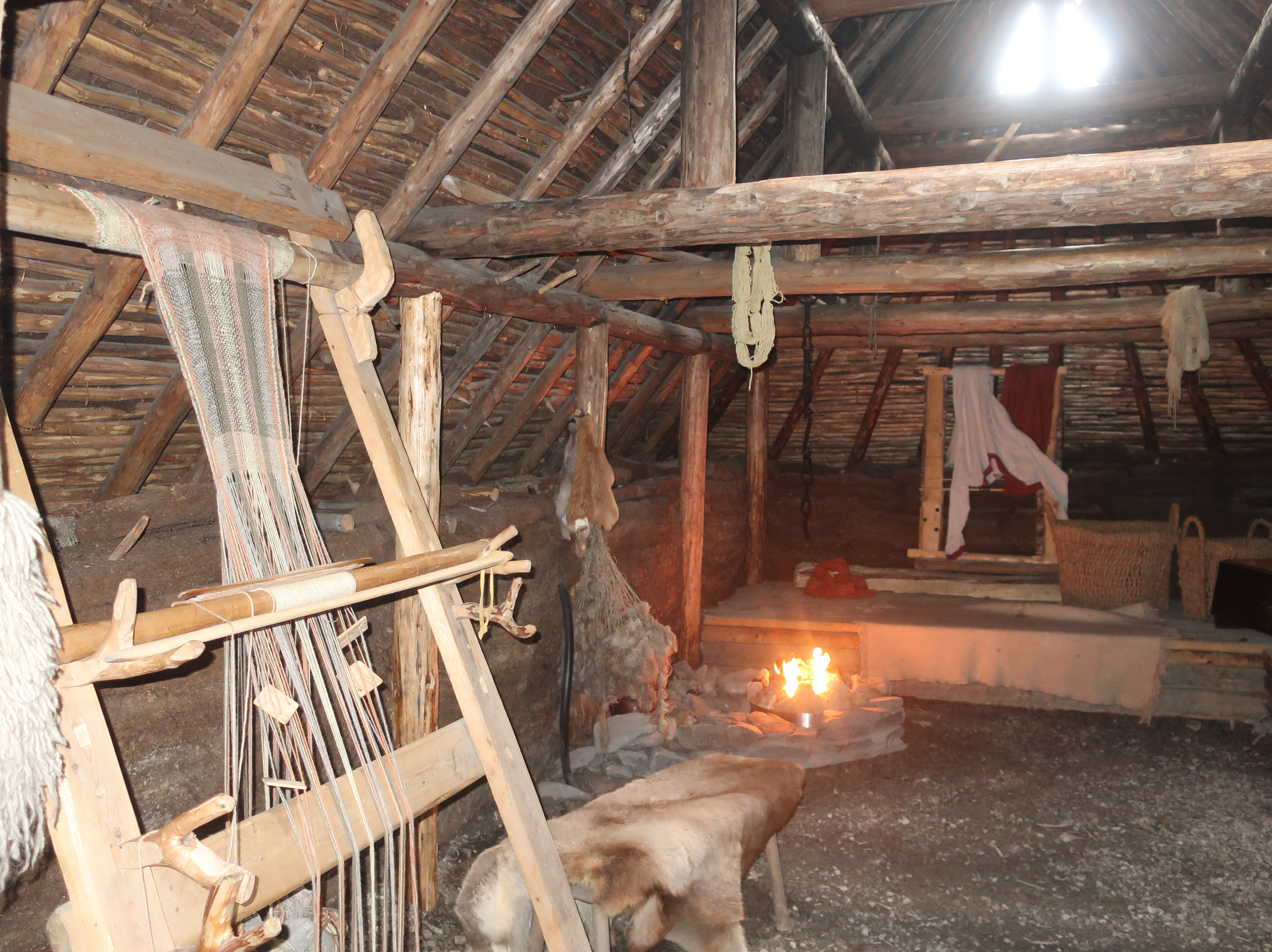
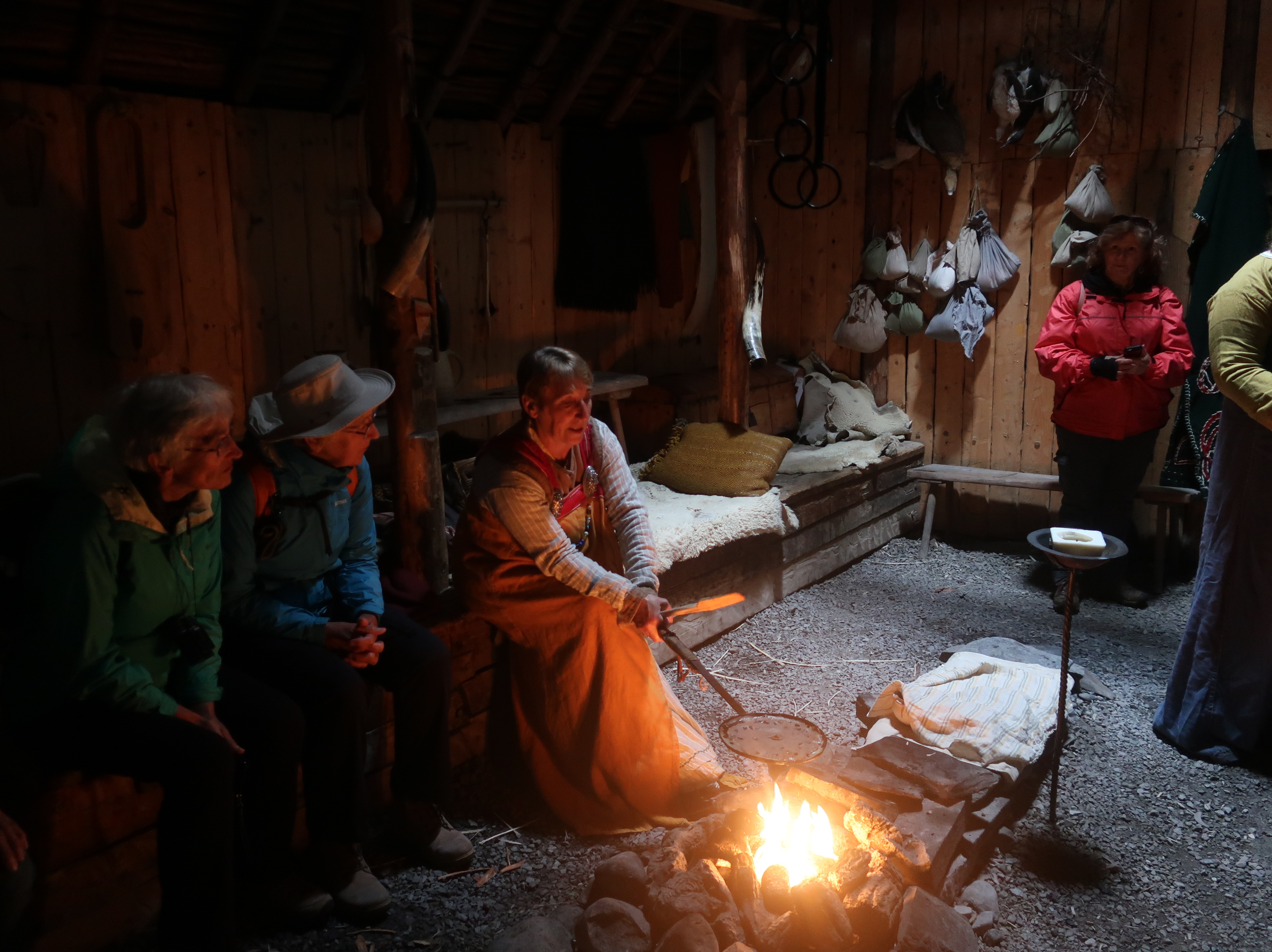
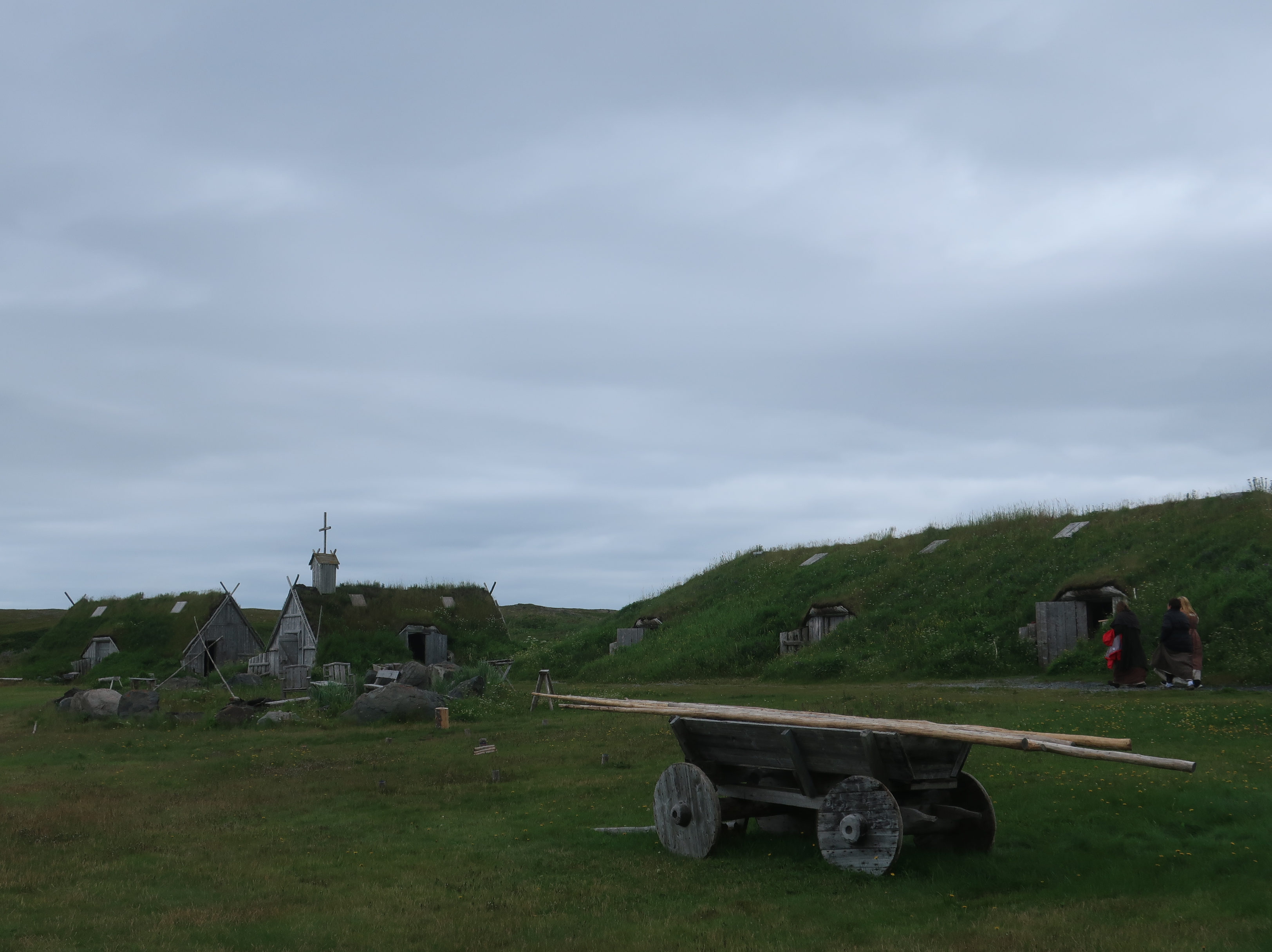
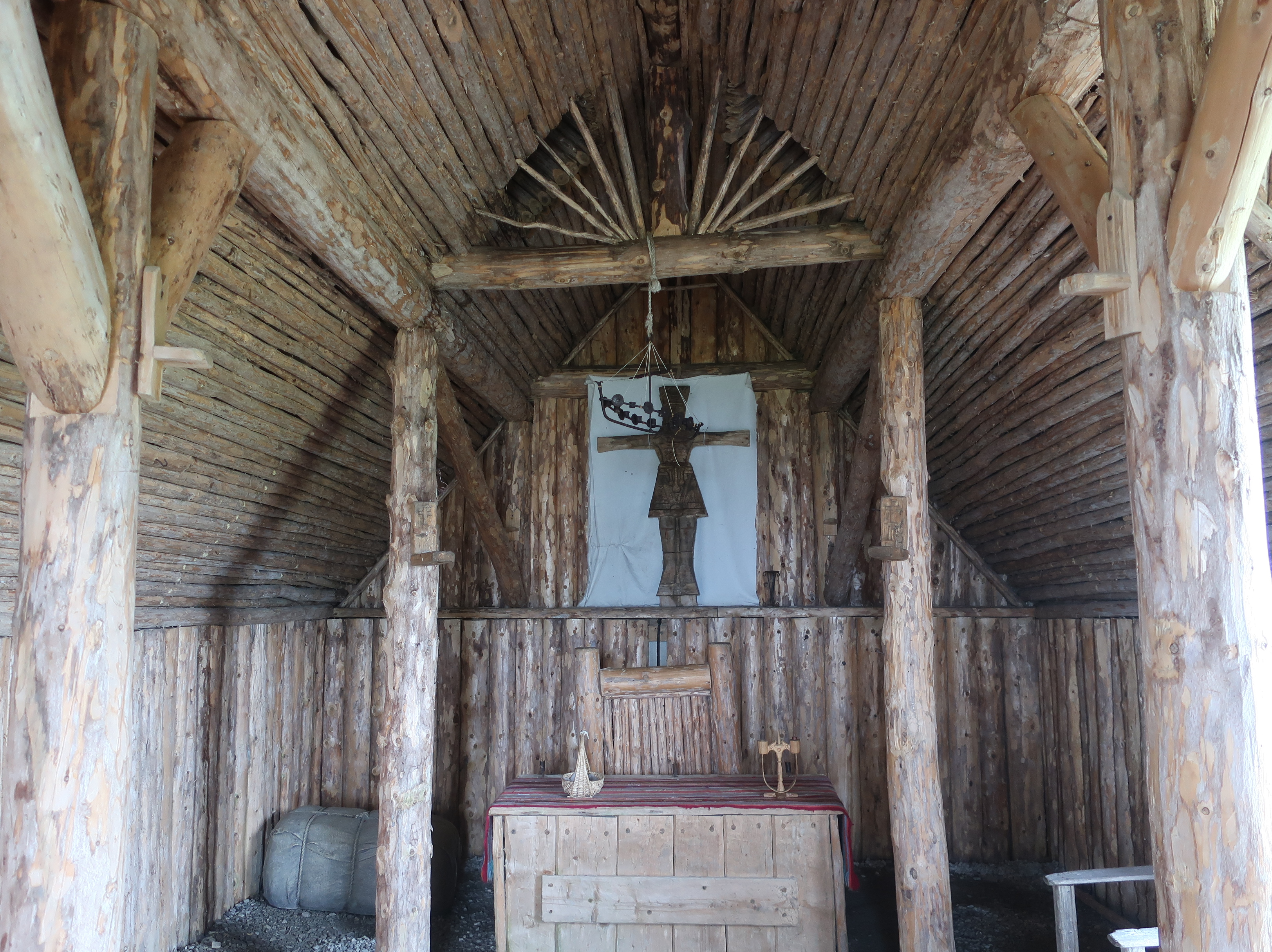
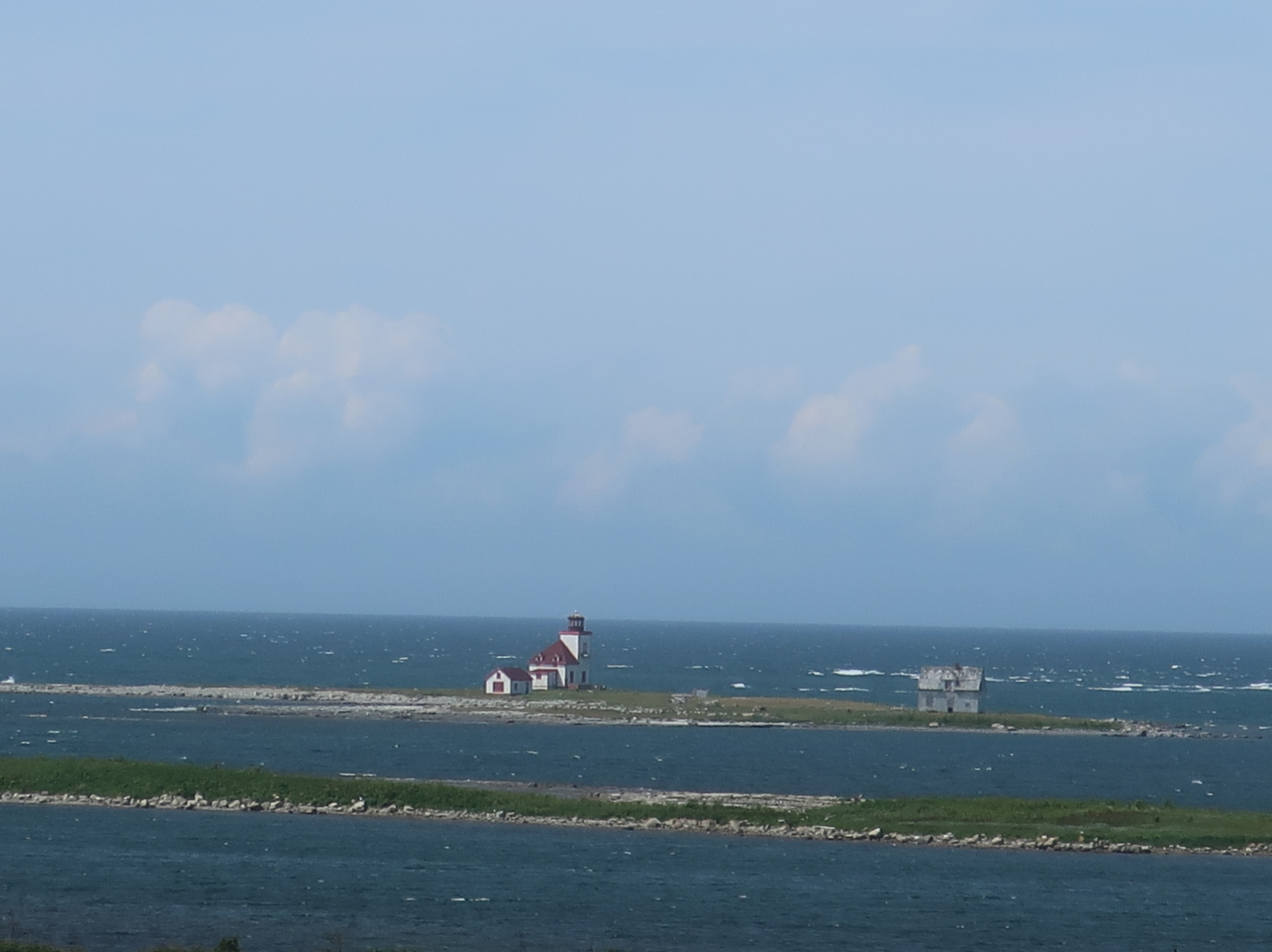
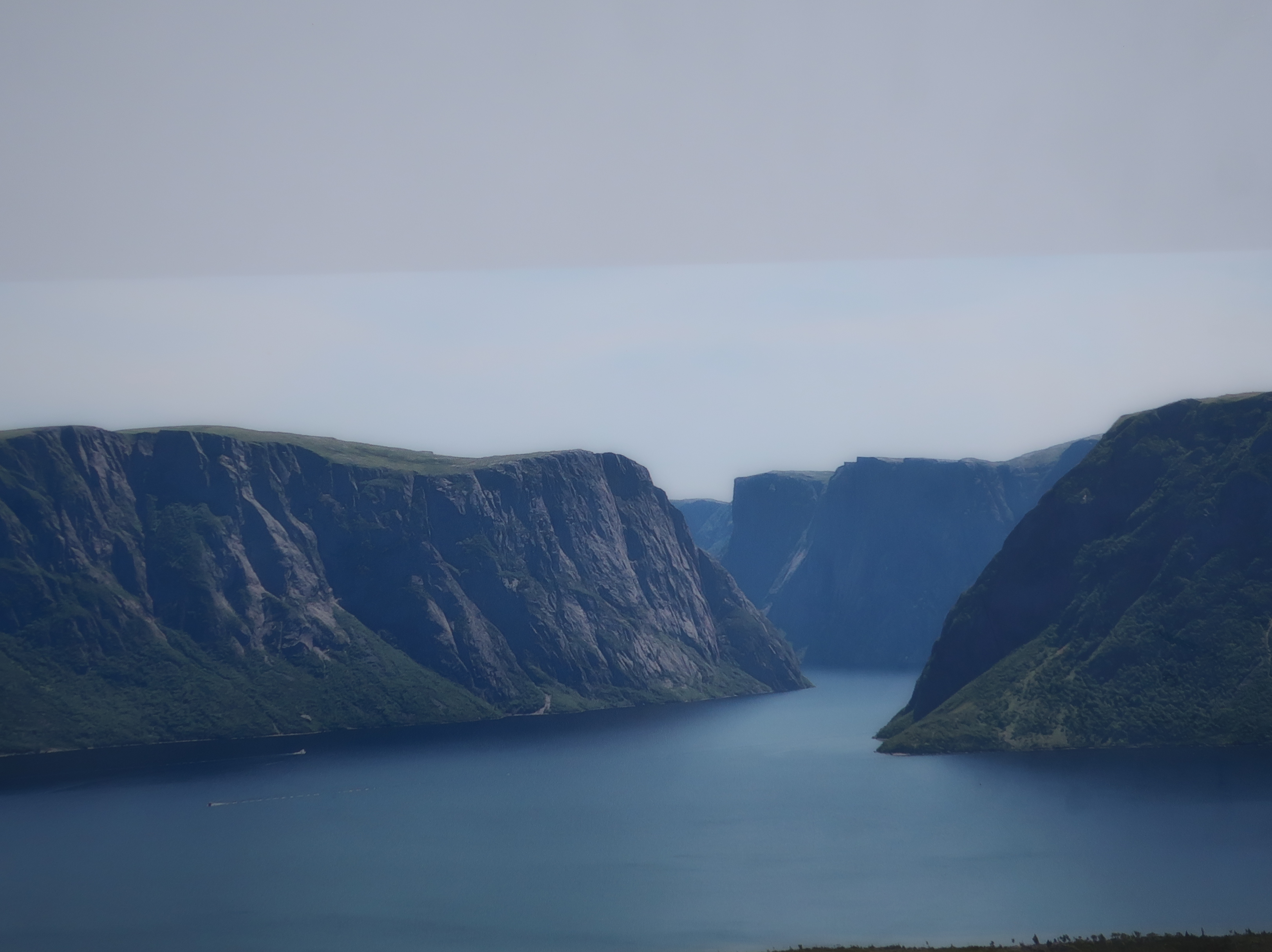
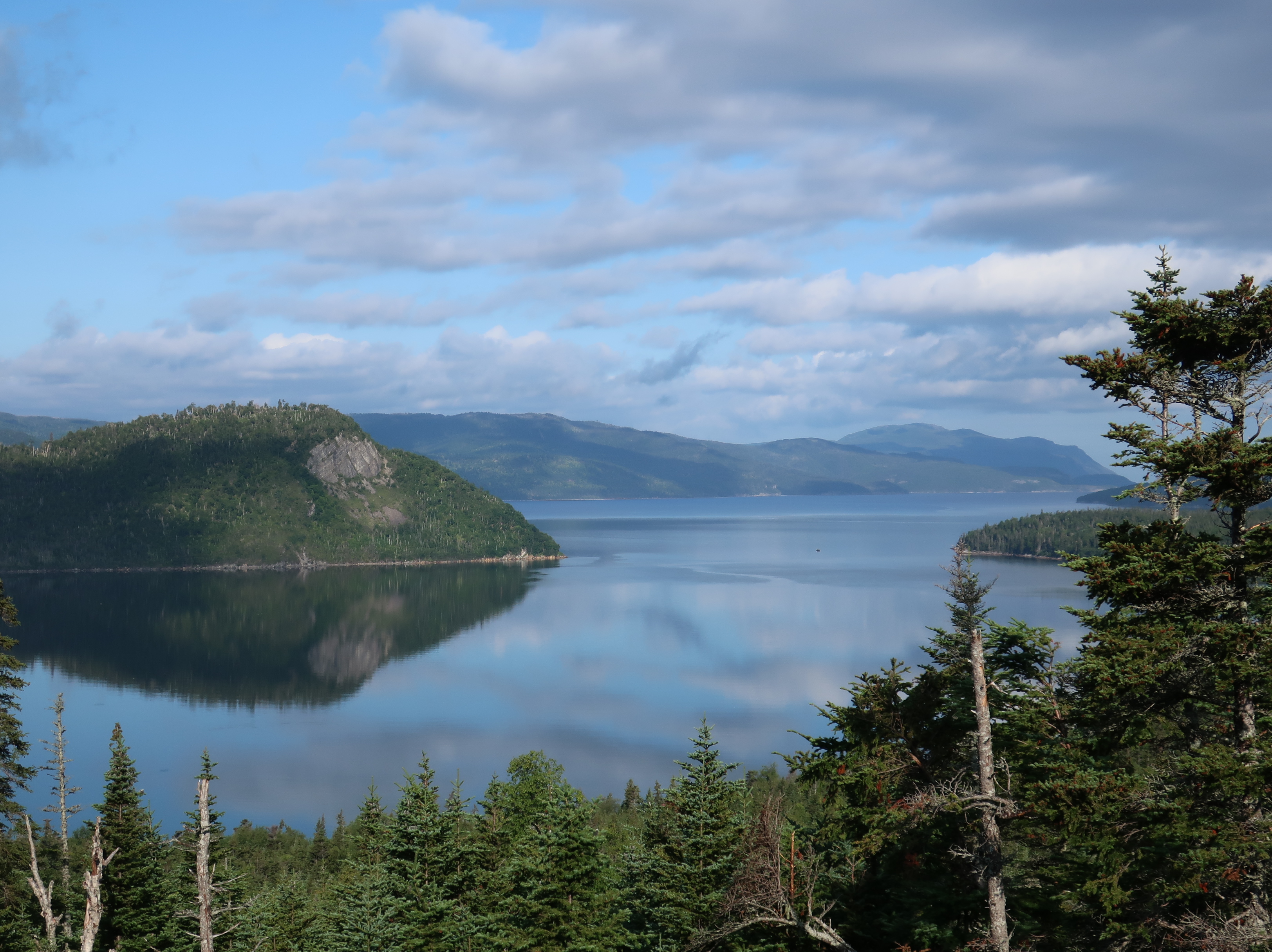
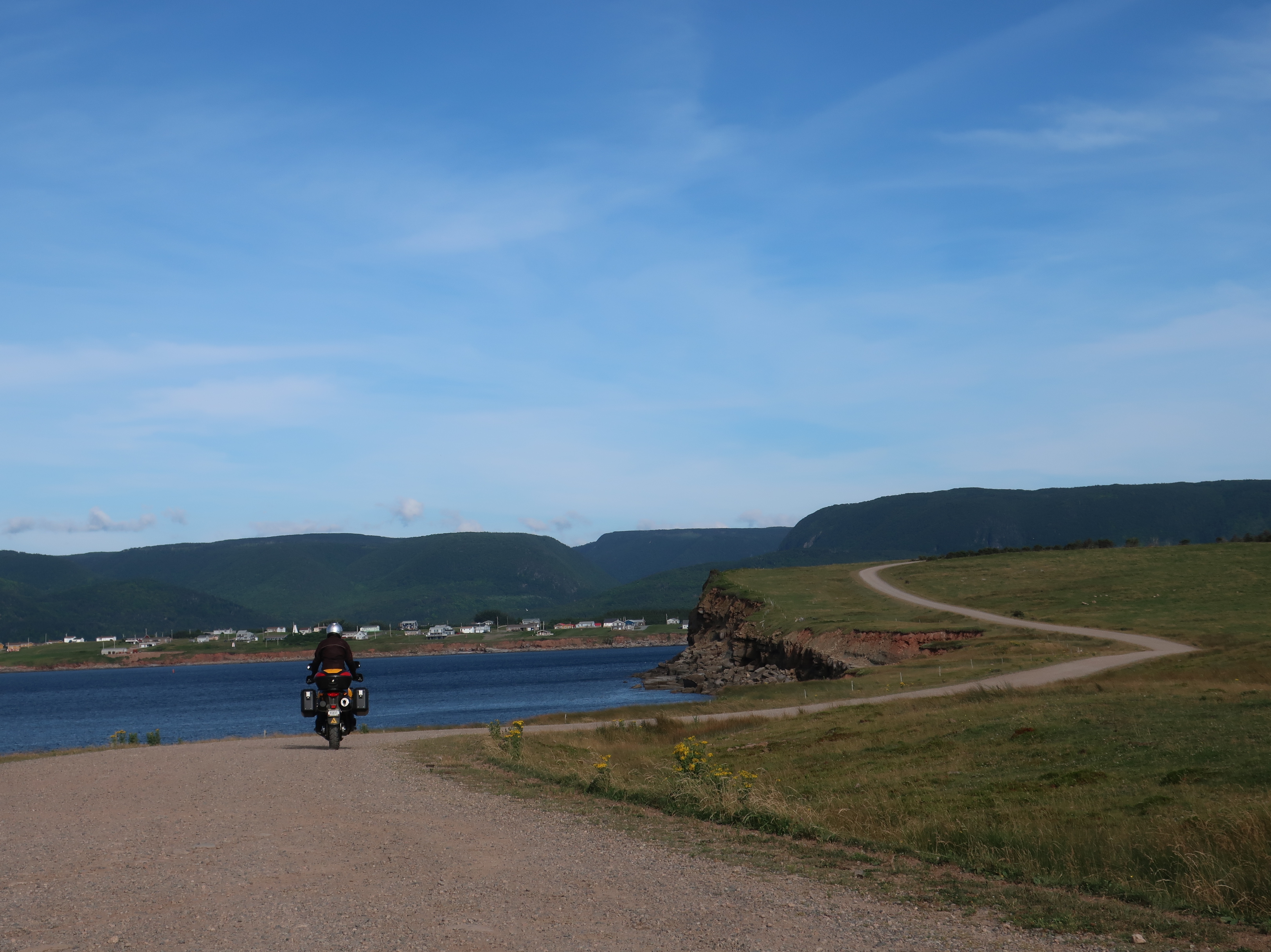
Hello everyone! Hope you are all doing well and staying safe. What a crazy year 2020 has turned into! Don and I are hoping to do a week long trip to South Dakota in mid-September. Of course that depends on what happens with the pandemic in the next couple of weeks. We don’t have as much time this year which may be just as well. There won’t be any overnight ferries this trip so “socially distanced” is how we generally travel anyway.

Blue Ridge Parkway, June 2020

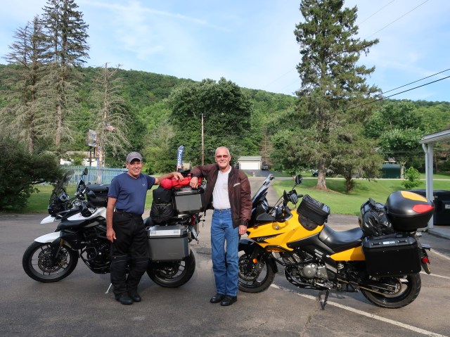
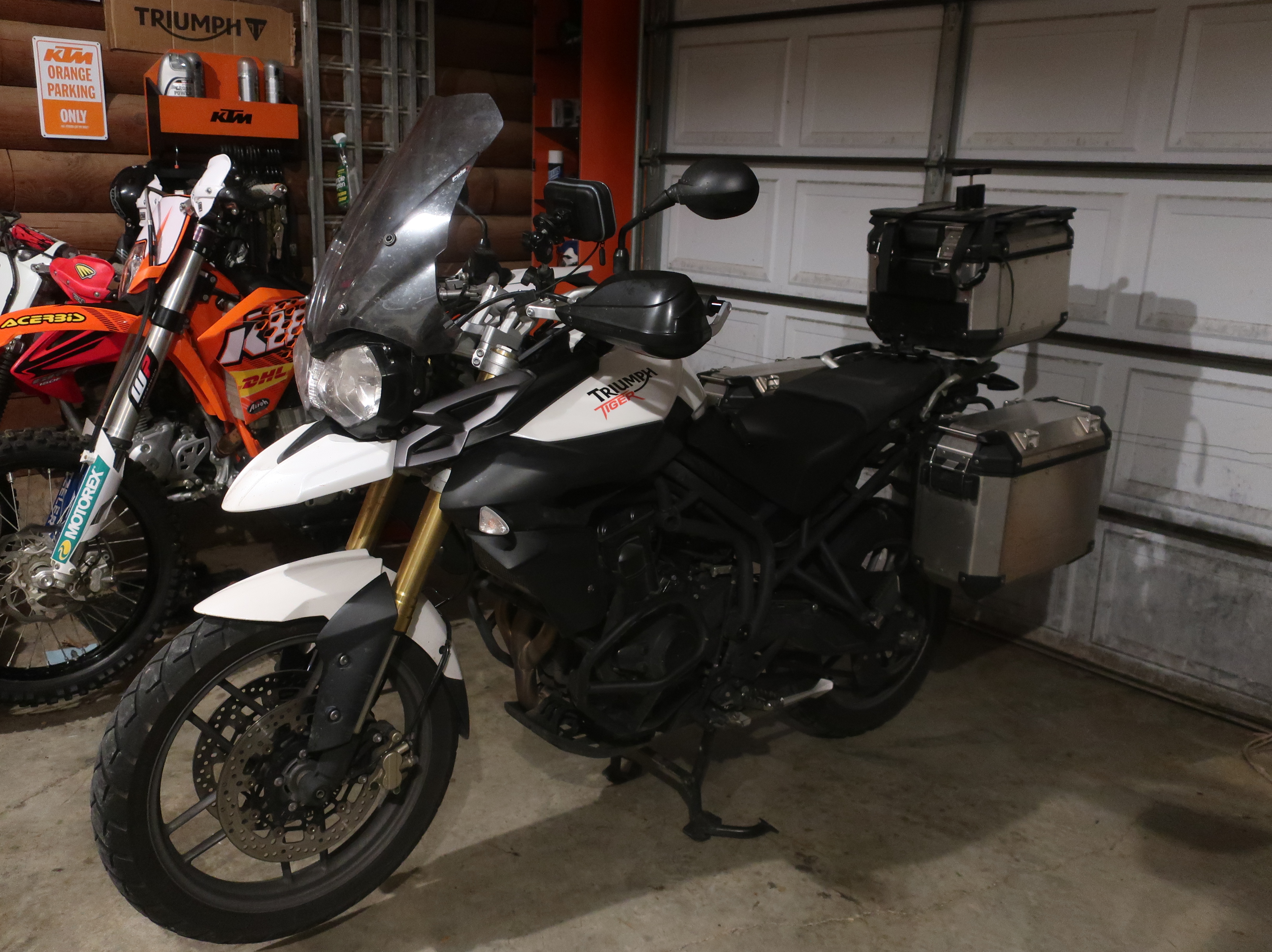
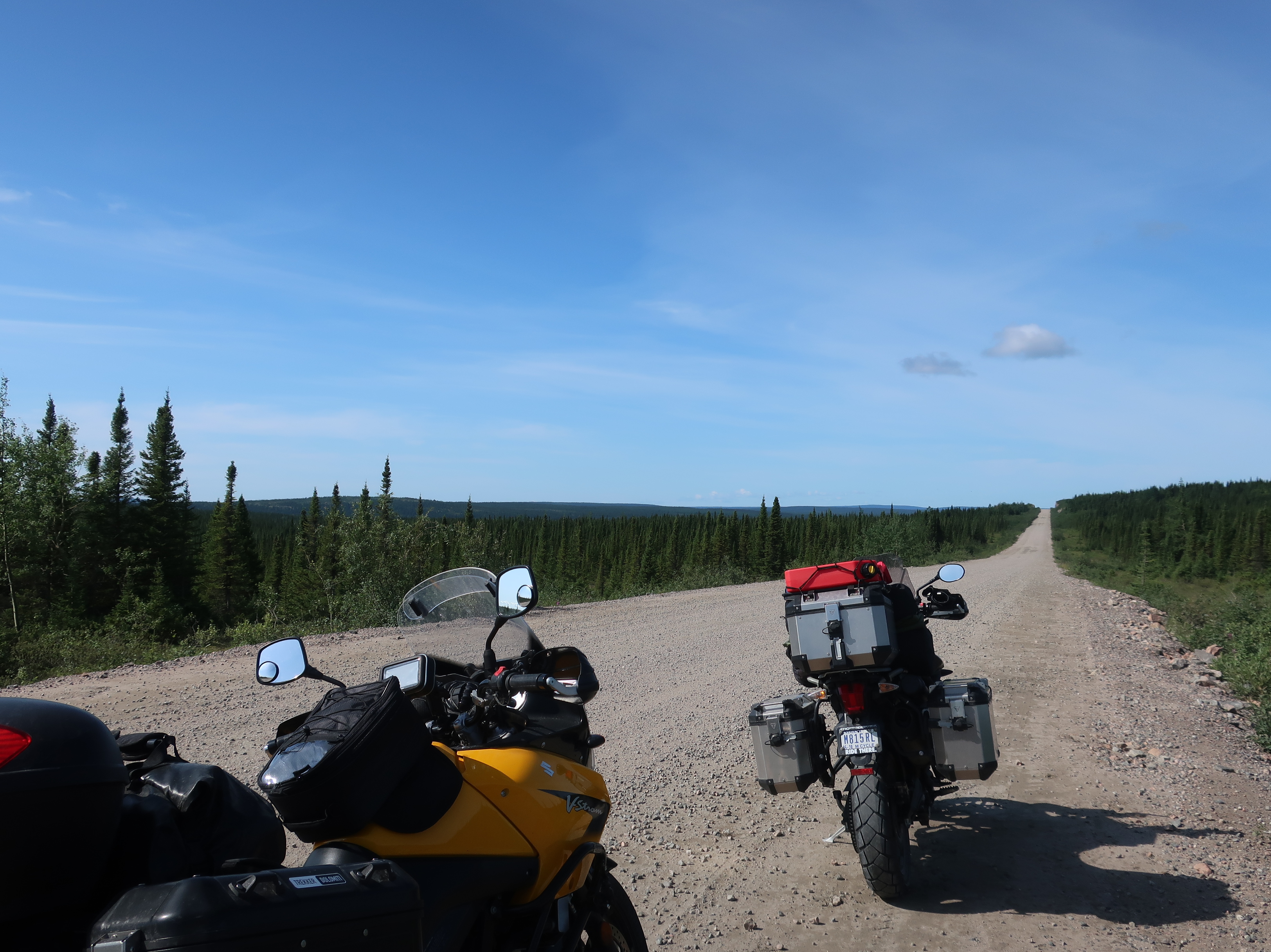
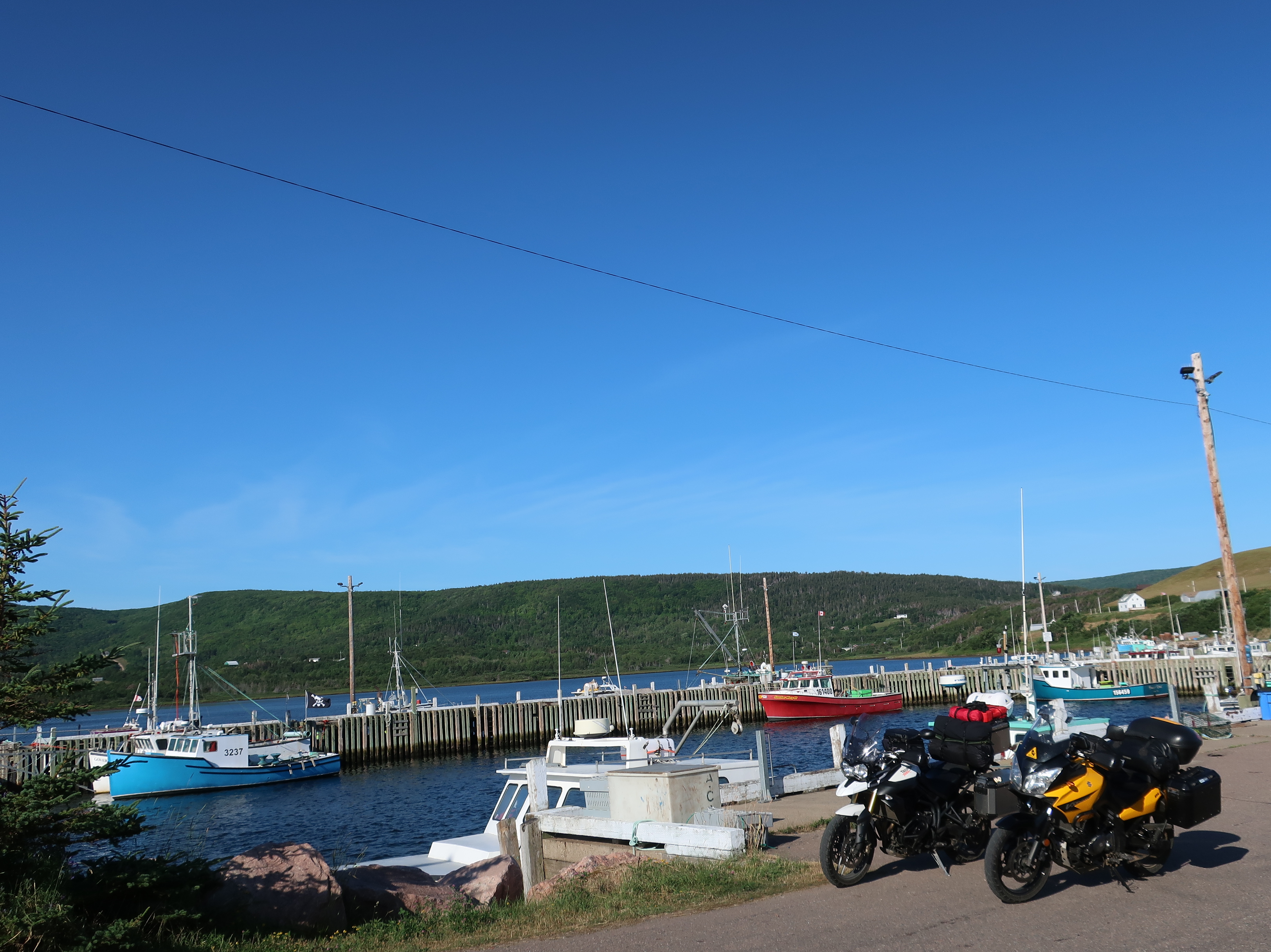
As far as personal updates, I went back to work full time for the USDA in January and vacation time is a little tight this year. Don, on the other hand, finally retired this spring. He already seems to be getting a little bored and I expect he will pick up some work again after the riding season is over. Don also bought a new bike in December, a brand new 2019 V-Strom 650. He sold the old yellow Strom with 116,000 miles and still running great. We spent the Winter months outfitting it. I’ve updated “The Bikes” page if you want to check it out.

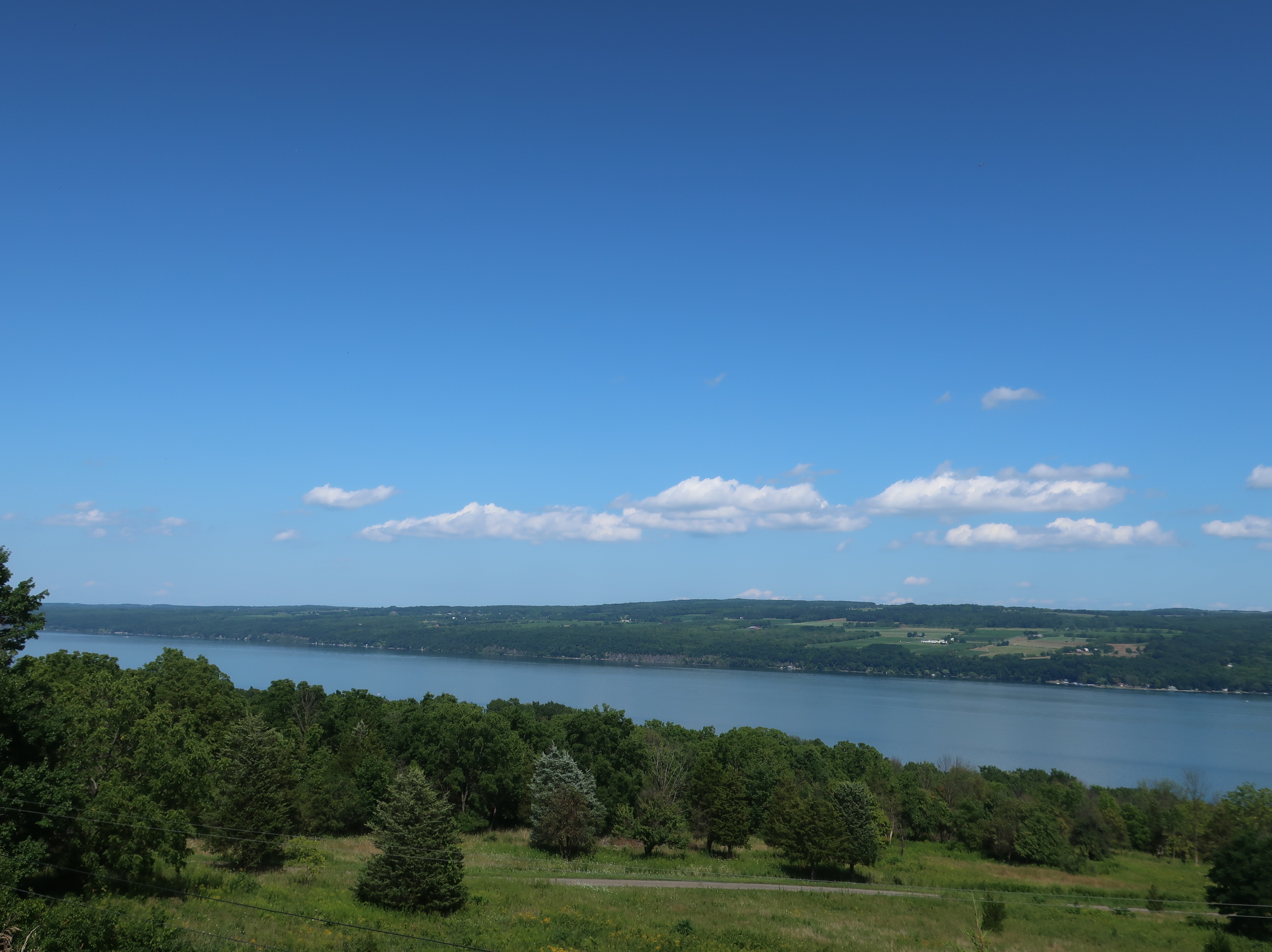
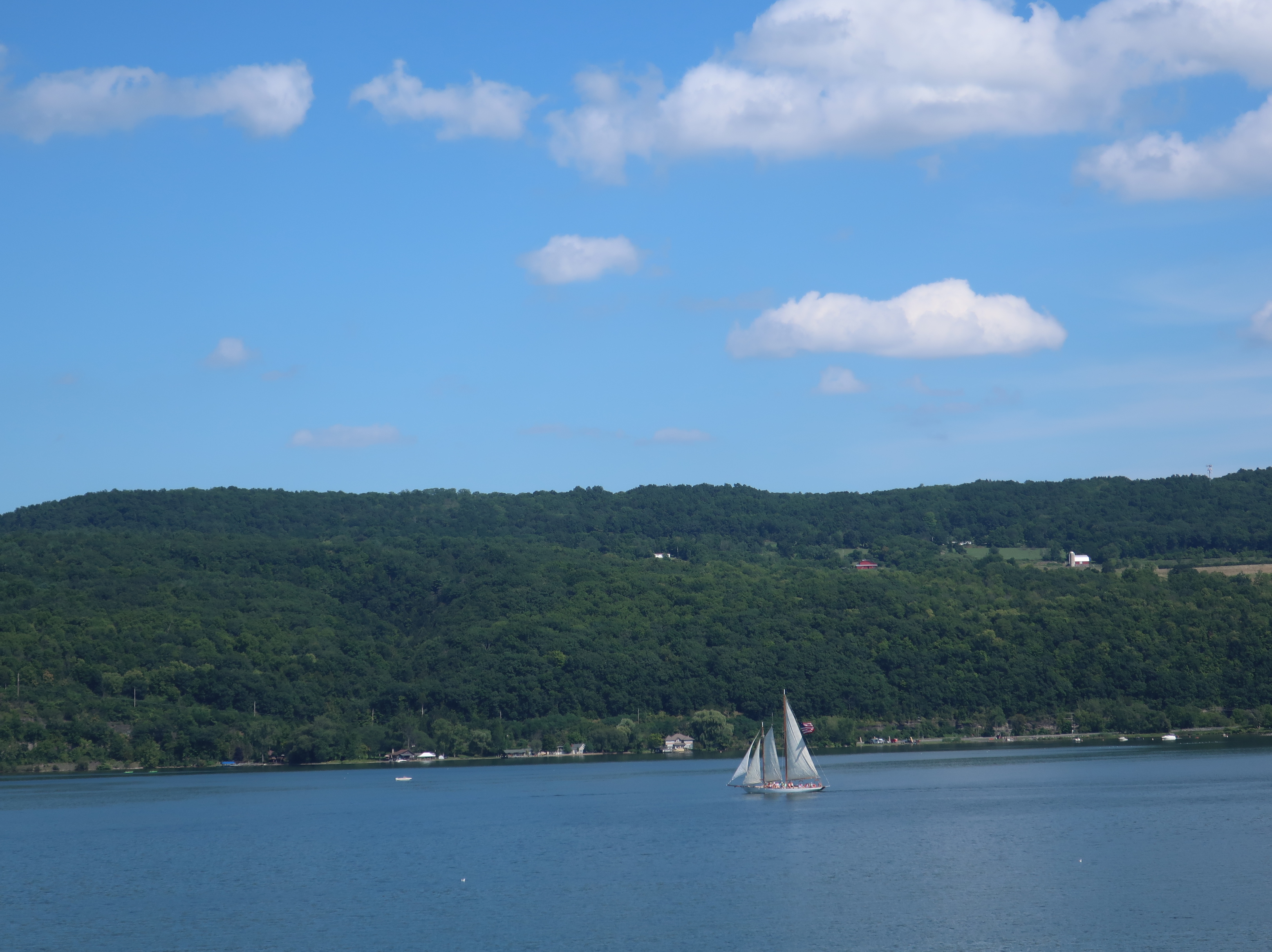
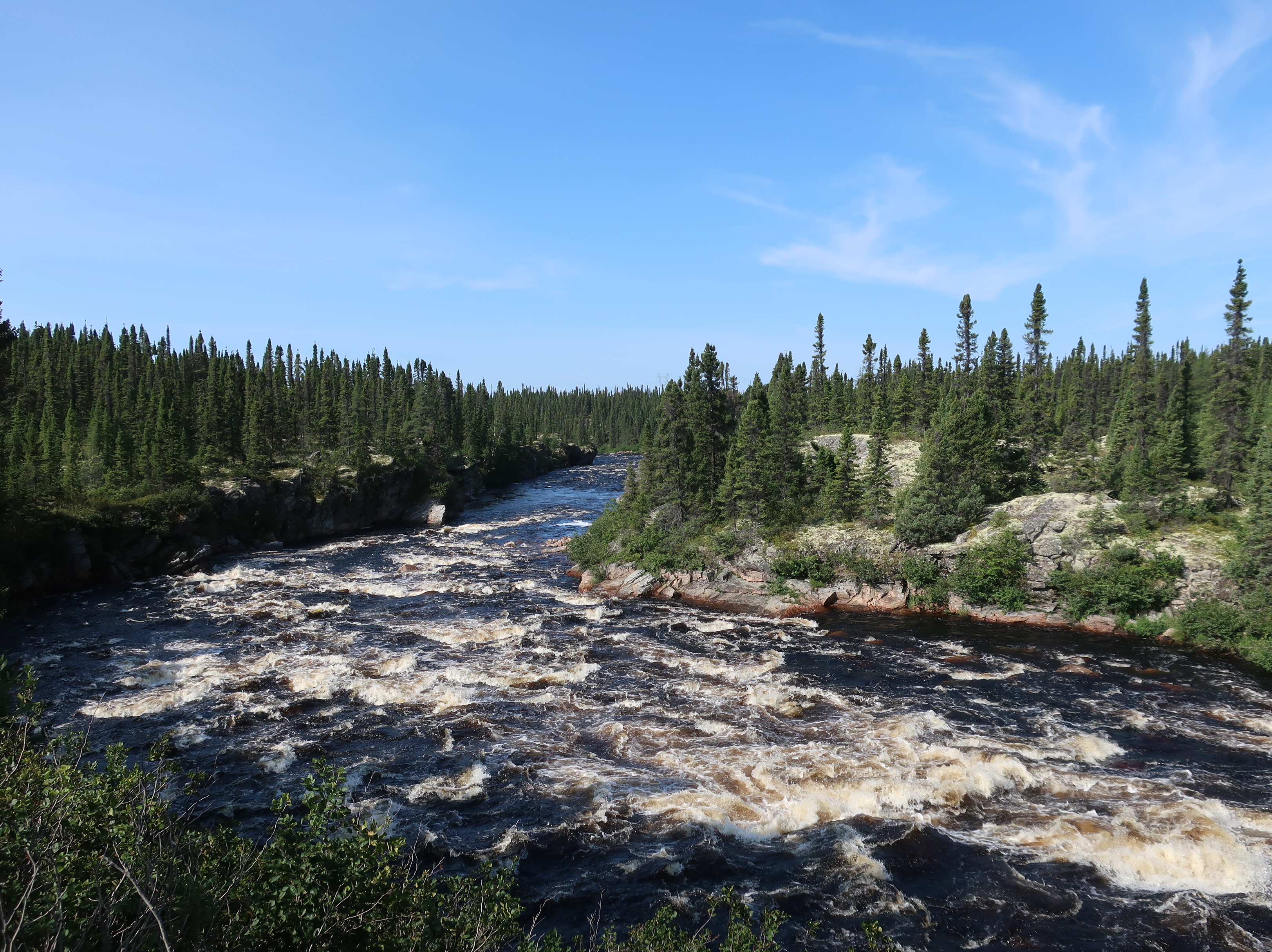
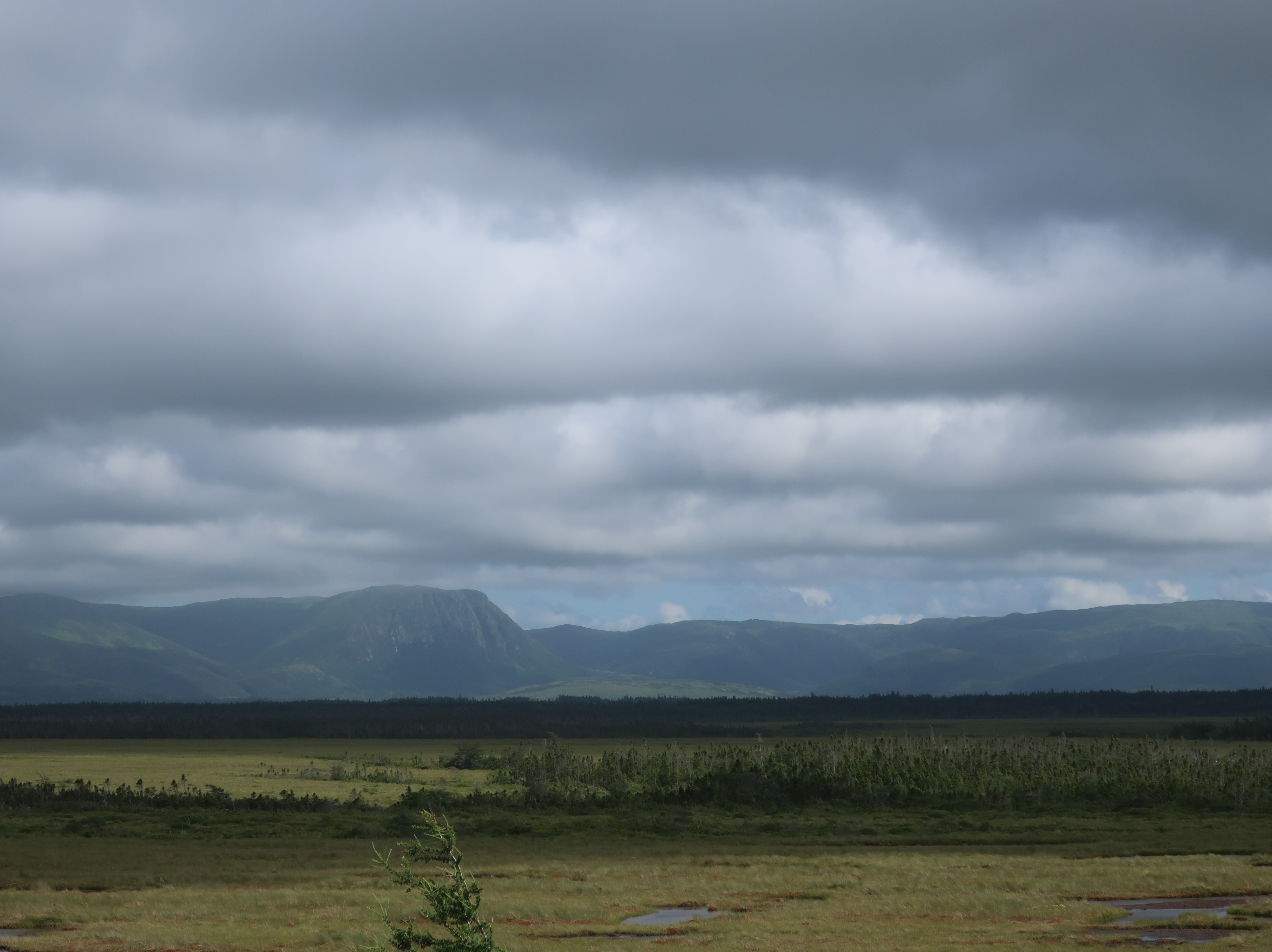
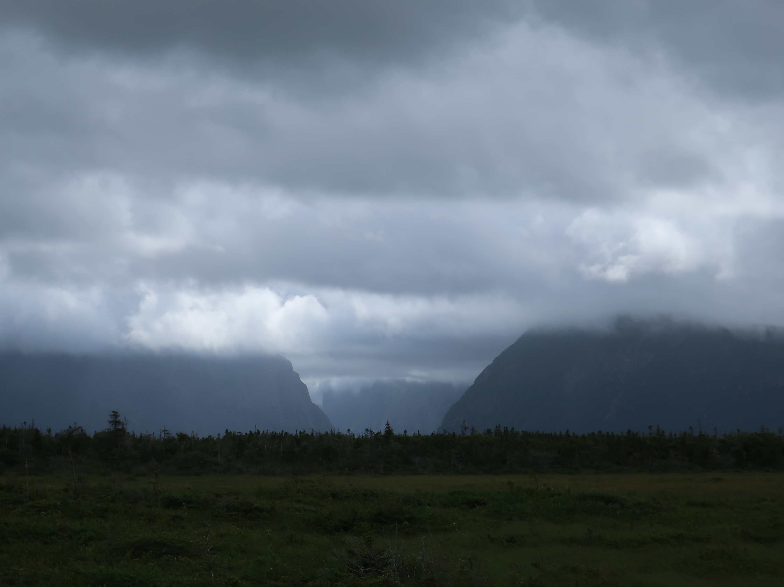
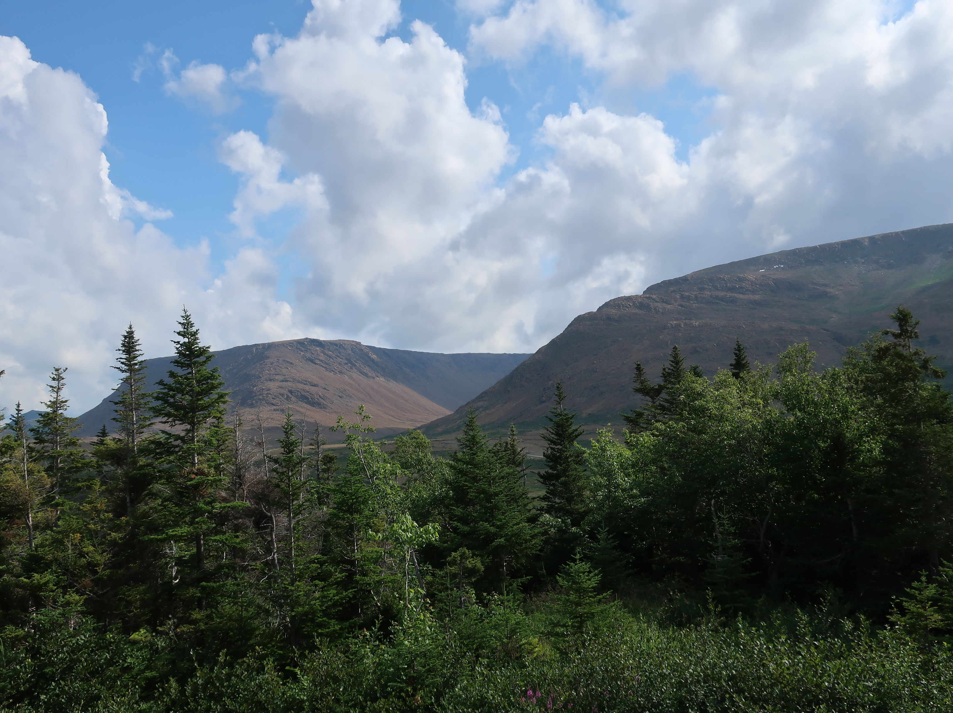
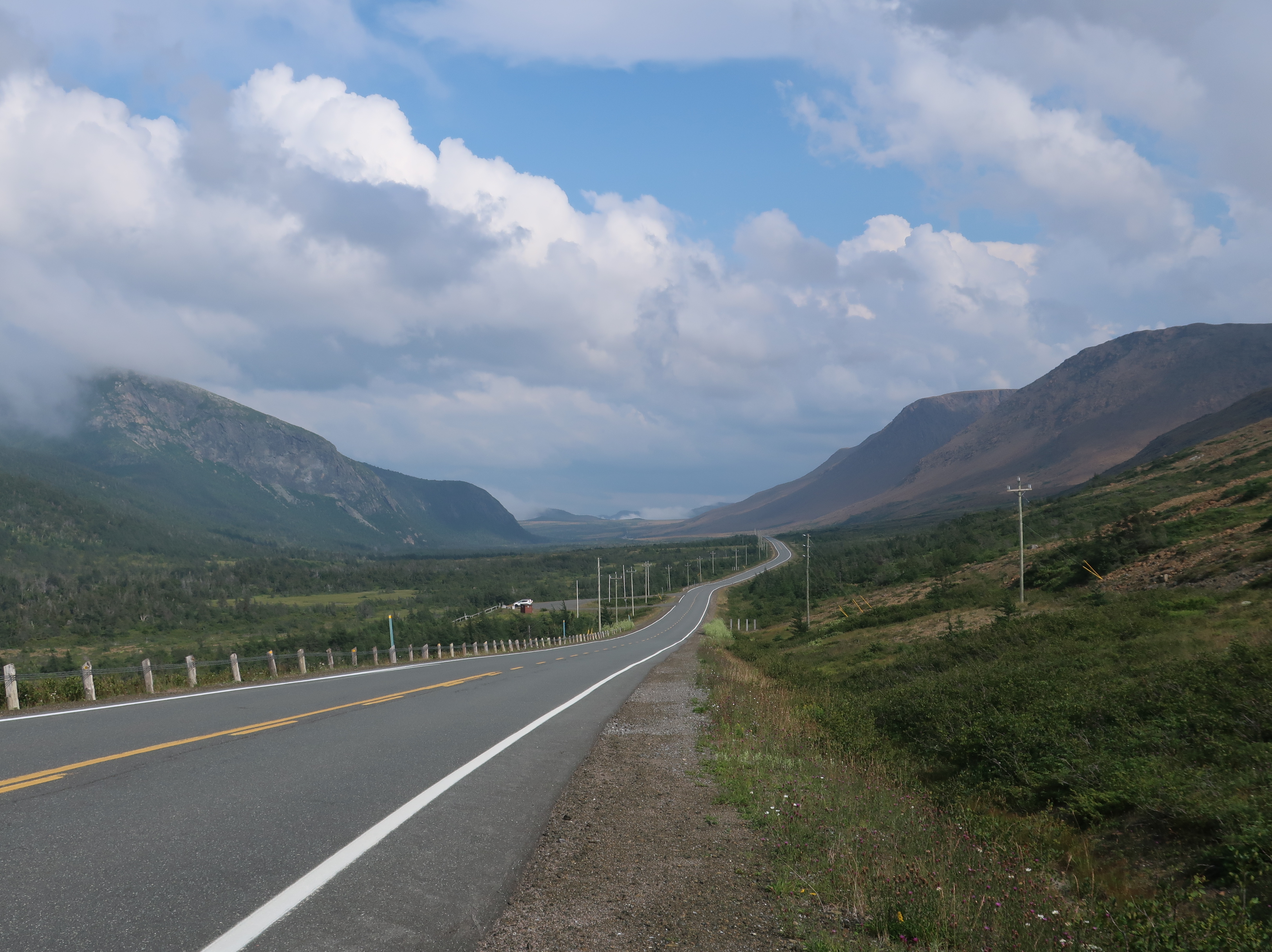
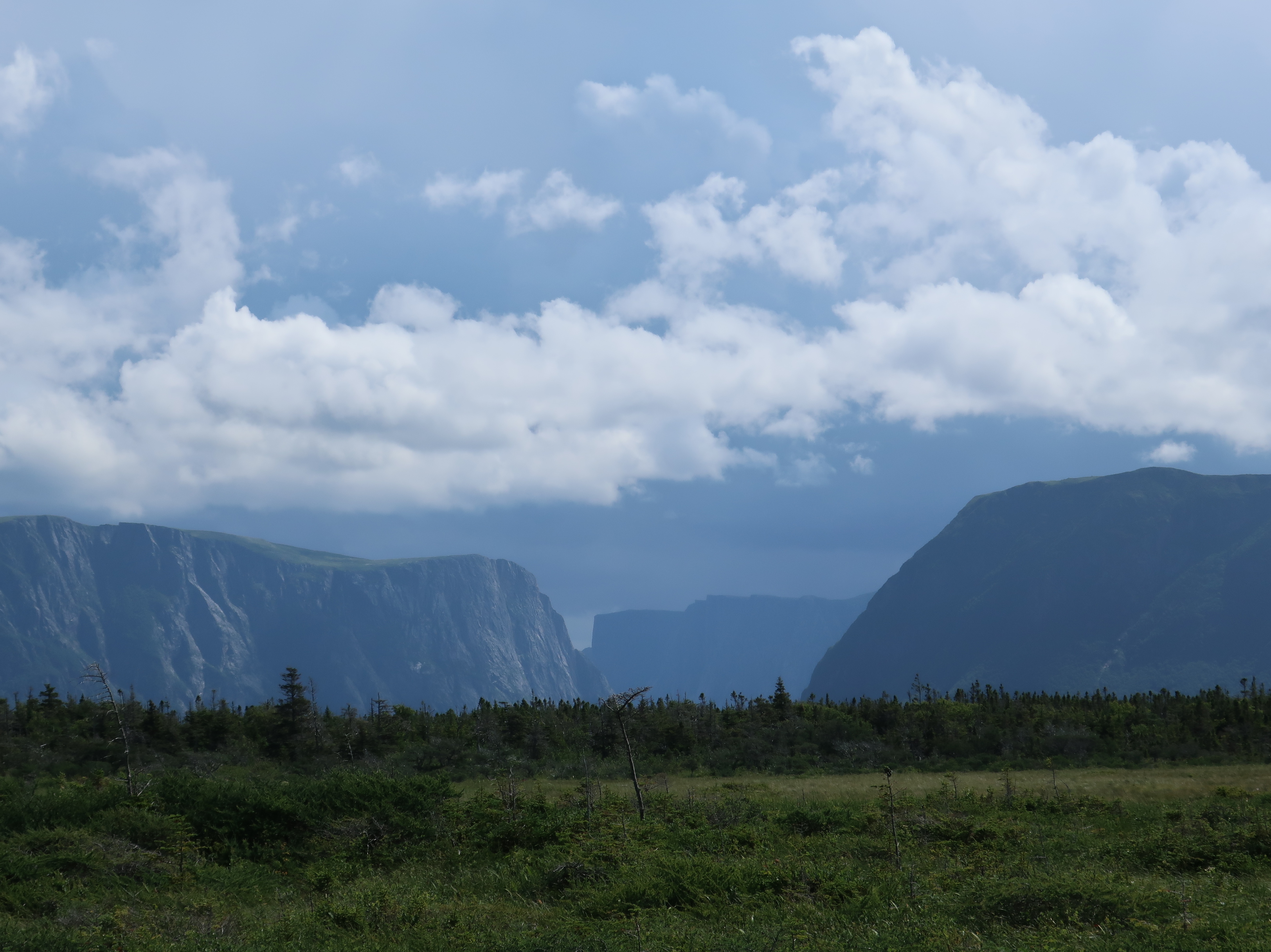
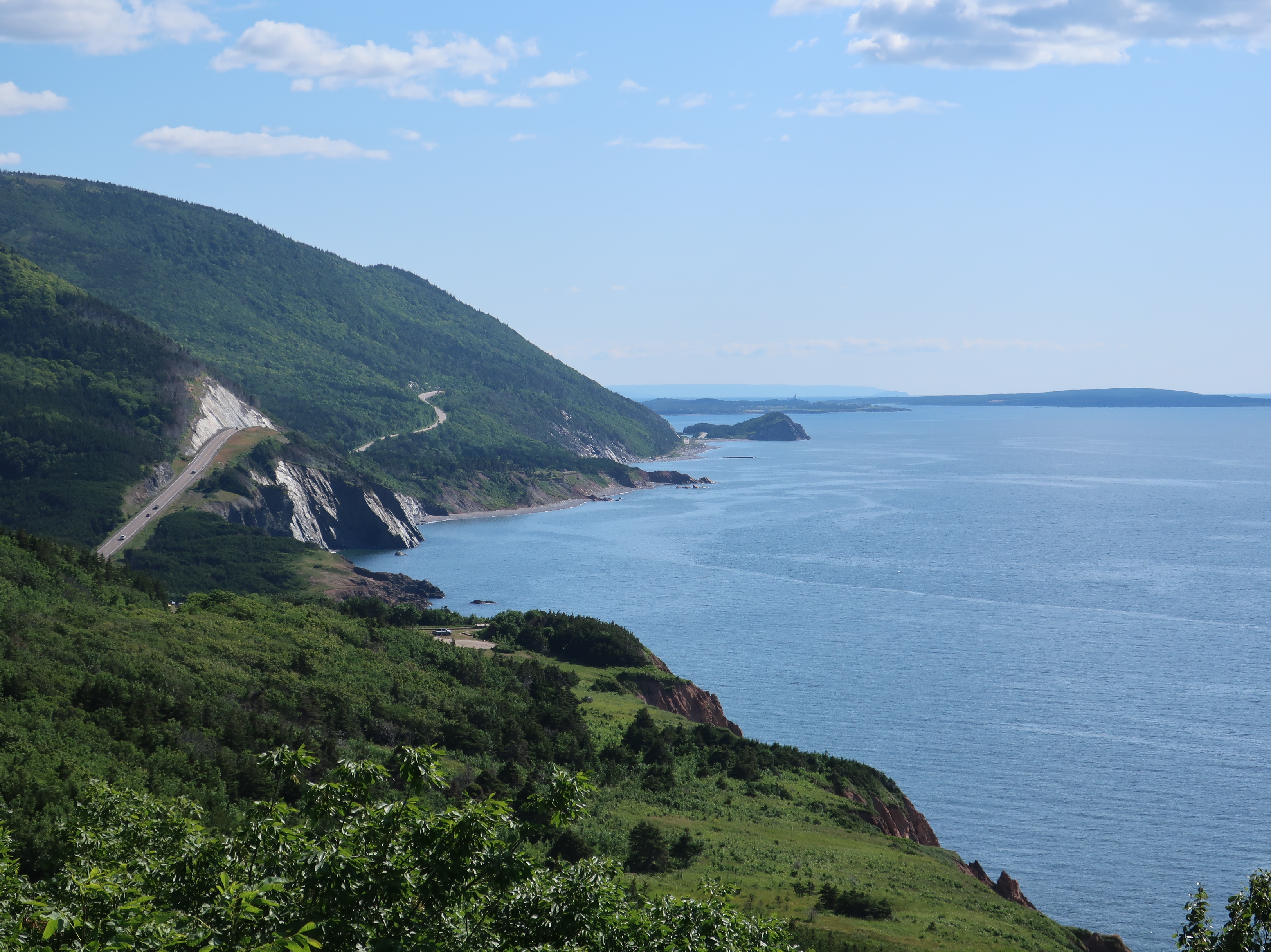
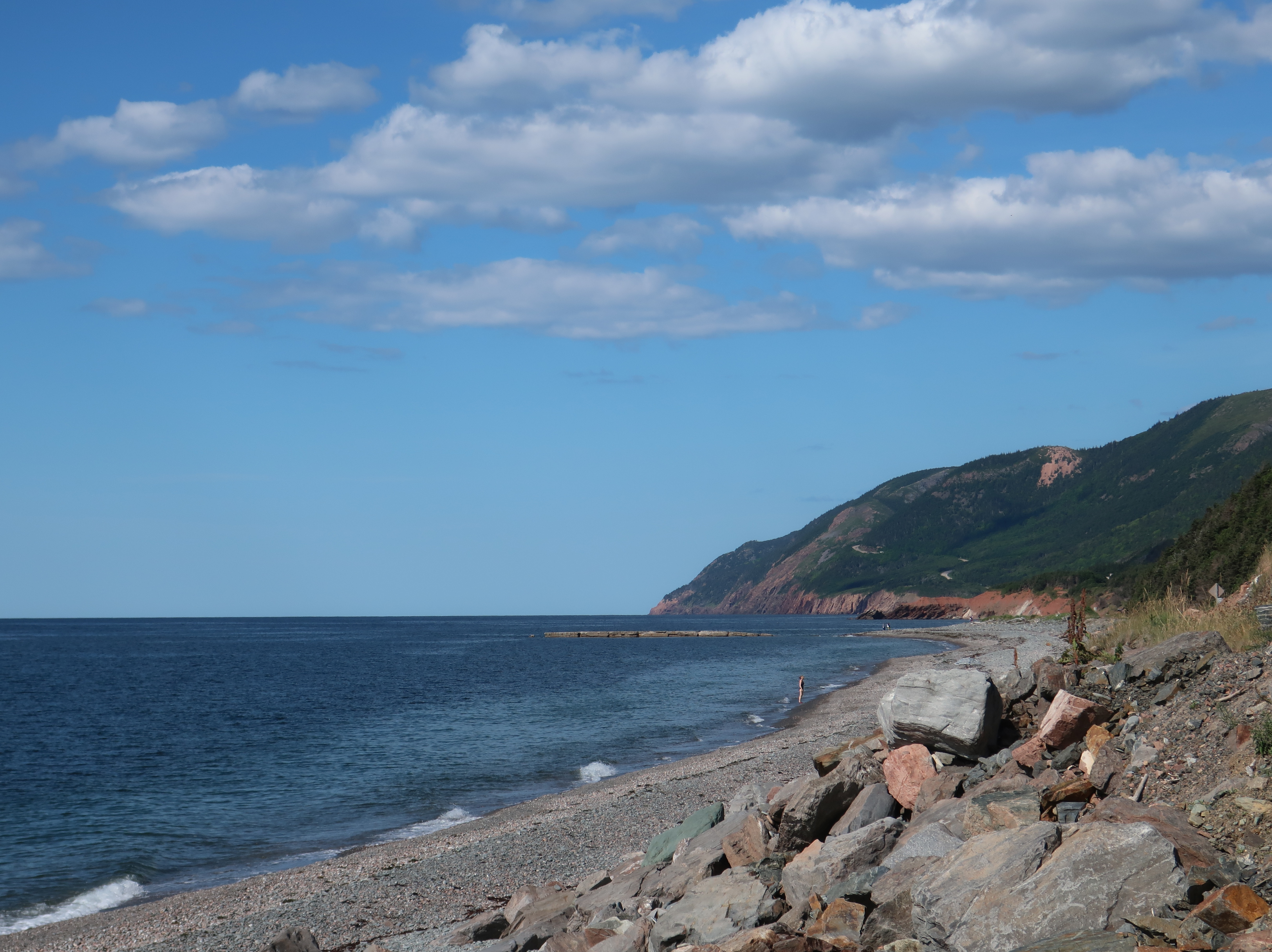
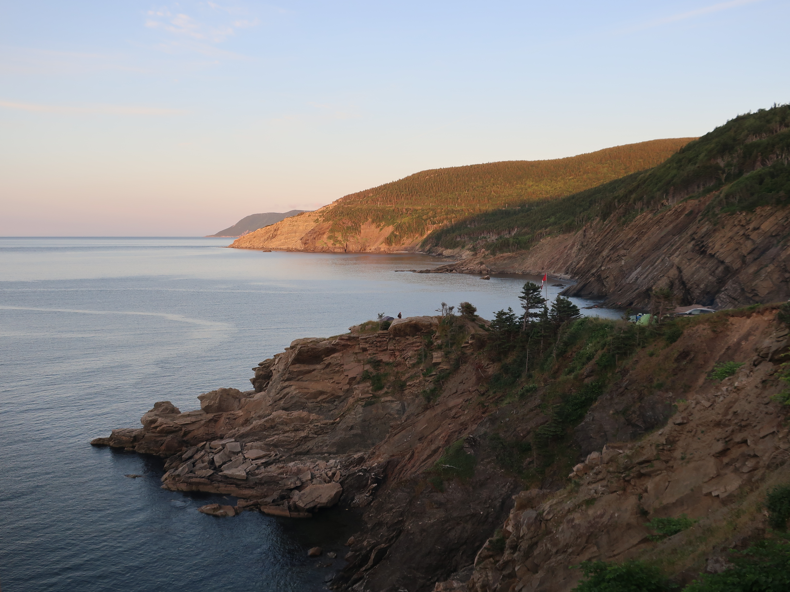
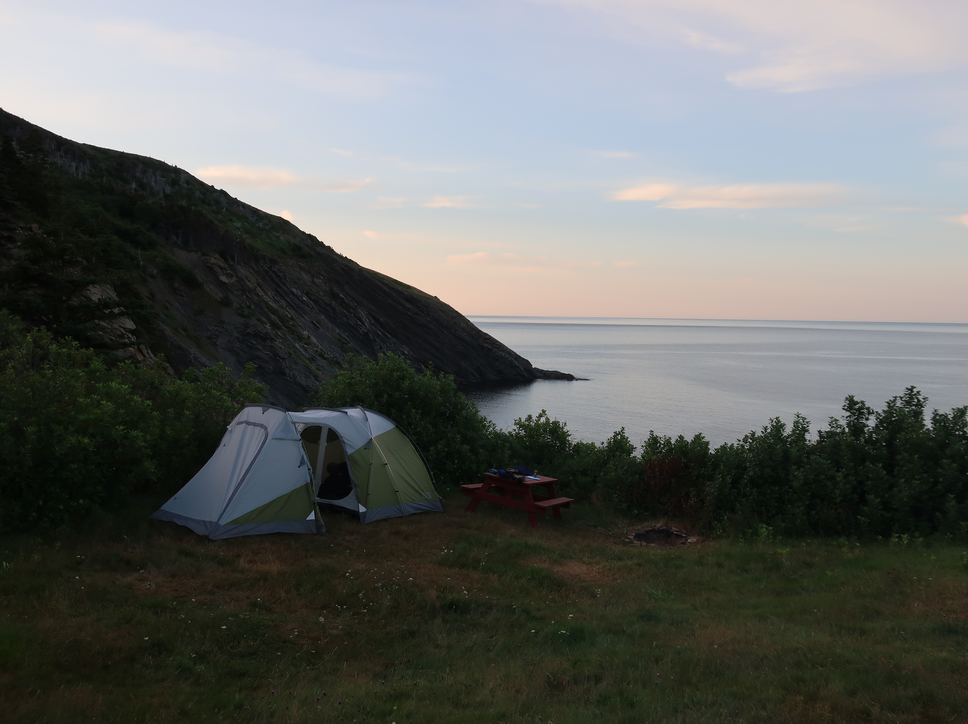
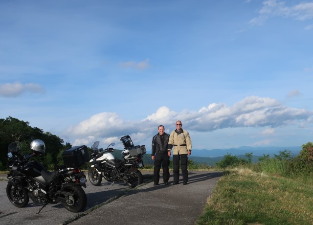
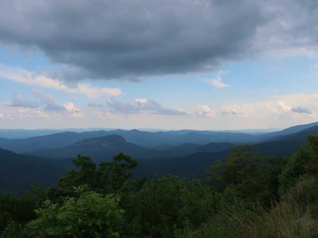
We did make a quick trip down to the mountains of North Carolina in June. Spent a couple of nights at the Blue Ridge Motorcycle Campground, our “home away from home”. Western North Carolina is a fantastic area. If you like scenic drives, the Blue Ridge Parkway is a must!

Looking Glass Rock-water running down the granite dome will freeze in winter giving the bare rock a mirror sheen in sunlight.
Looking down from Mount Mitchell 6684′-the highest peak east of the Mississippi River (around 40 feet higher than Clingmans)

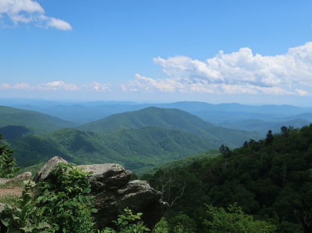
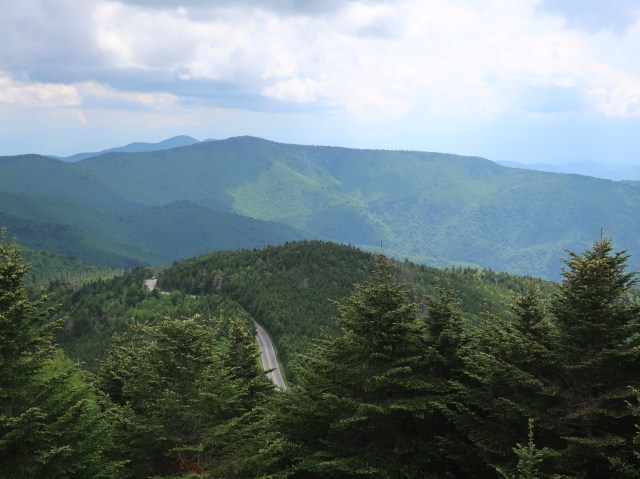
The Blue Ridge Parkway is America’s longest linear National park, and the most visited, running 469 miles through Virginia and North Carolina. Construction began in 1935 by the Civilian Conservation Corps as a public works project. The parkway was not completed until 1987, 52 years later. There are 25 tunnels in North Carolina and the Linn Cove viaduct, basically an elevated bridge snaking around the mountain top.

Looking Glass Falls

Wrap Up

Wow, this was an epic trip! And thank you for sharing it with us. Total mileage was right at 6,000. The bikes did great at everything we asked of them. Don’s V-Strom turned over 113,000 miles during our travels. The only mechanical hiccup was the Tiger’s fork seals started leaking on the way home. Not a major problem other than they will need to be replaced before another big outing. Not bad considering the pounding the suspension took at times. The next major task will be getting the bikes clean again.

We traveled through some beautiful places! The pictures just give you a glimpse of the landscapes we experienced. And I missed more spectacular shots than I actually took. Some regions, the few photos I have just don’t do justice. Nova Scotia and Newfoundland are absolutely stunning and probably have some mass appeal to many of you. And we certainly hope to have inspired a couple of you to put them in your future travel plans. Labrador and eastern Quebec were also beautiful but the type of travel required is probably not for everyone.

A journey is often as much about the people you meet as it is the places you go. That was certainly true of this trip. One thing about motorcycle travel that those of you who don’t ride may not be aware of is that bikes have a way of breaking barriers and drawing people in. Almost everywhere we stopped, people would walk up and start conversations. Many wanting to know where we were from and where we were headed. Sometimes, they just want to talk about the bikes or they have a family member who rides and want to wish us safe travels. Don and I were both overwhelmed by the friendliness of Canadians in general, and especially those of Newfoundland. If a couple of you from the ferry are still following the blog, thank you so much for your warmth and hospitality. We did try some of your suggestions. The cod was truly delicious, although the jury is still out on bakeapple berries.

And thank all of you for following along and sharing comments. I’m not sure if I will do another blog, but I’ve gotten such positive feedback, I may. Just stay subscribed as I will use this same site, but it will probably be a year or two before the next big trip. And I will get more pictures up in the gallery soon. So, I guess this is a wrap. As we say, “Keep the shiny side up and the rubber side down”.

Day 19 – Home

Don and are both back home safe and sound. Wasn’t a bad travel day. A little rain when we left lower New York state this morning, but it was clearing by the Pennsylvania line. Ohio was cloudy but dry and we really didn’t have much heat until Cincinnati.

Don trying to stuff all his extra gear in the trunk as the temperature came up. It took effort but it all went in.
In the jungle, the mighty jungle, the Tiger sleeps tonight.

I’m pretty beat tonight so I’ll wrap things up. I will send out one last post in the next day or two to close out the blog. Thank you all for your support and comments.

Day 18 – New York Again

Saranac Lake NY

Today was our last day of scenic touring and it was a beautiful day. We cut through the Adirondacks on Hwy 3 which was largely a different route than we took a couple of weeks ago. The mountains were a little on the cool side this morning, but not a cloud in the sky.

Seneca Lake, one of the Finger Lakes

We did a little stint on the interstate then jumped back off and headed south through the Finger Lakes region.

Sailing out of Watkins Glen

Watkins Glen was crazy even on a weekday. I can’t imagine this place on a race weekend. A couple of miles south of Watkins Glen is the little village of Montour Falls which doubles as Hallmark Channel Aurora Teagarden’s fictitious town of Lawrenceton Georgia. And yes, there really is a big waterfall at the end Main Street.

Montour Falls NY

Well, tomorrow will be a travel day home. Nothing wears out a motorcyclist quicker than a hot and humid day fighting wind and traffic on the interstate. I’ll post tomorrow to let you all know that we concluded this epic trip safe and sound. I still plan on getting more pictures uploaded to the gallery page this coming weekend and maybe another post to wrap things up. Thanks for tuning in.

Day 17 – Back in the USA

The clearest view I could get today during a ferry crossing.

Uhg! What a day. We woke to very dense fog and cold rain. Our scenic ride along the north shore of the Saint Lawrence wasn’t scenic at all due to the weather. The ferry I had originally planned to cross the river was down for the rest of the season due to a major break. So we ended up running all the way down to the city of Quebec and eventually on to Montreal. We absolutely loved the Quebec Province yesterday and couldn’t get out of it soon enough today.

Tadoussac/Baie-Sainte-Catherine ferry on the way to Quebec City.

Montreal was unbelievable and the weather cleared about the time we hit the gridlock and it got uncomfortably warm. I expected to make the border by early to mid afternoon. We crossed at 5:30 this evening. On the plus side, we are in a comfortable hotel room and Don just treated me to a fantastic meal at the Butcher Block steakhouse. We are in Plattsburgh NY and ready to start Highway 3 through the Adirondacks.

What little we could see of the St Lawrence shoreline looked promising.

When you approach Montreal, fairly substantial mountains just seem to pop up and look isolated in an otherwise flat landscape. The name Montreal is generally thought to be derived from “Mount Royal”, the name given to the mountain by Jacques Cartier in 1535.

Day 16 – Bienvenue au Quebec

Reservoir Manicouagan

Bonjour! We got an early start from Labrador City and soon crossed into the province of Quebec. We had about 30 miles of dirt road (hwy 389), then pavement for a while, then back to dirt and gravel for probably 60 or 70 miles, and finally back to tarmac for a fun and twisty ride down to the Saint Lawrence. Eastern Quebec has turned out to be just as wild, remote, and beautiful as Labrador. Actually, probably more so, as the mountains have become bigger and very lush.

Riviere Hart-Jaune
Don cruising one of the smooth sections of Hwy 389

Hydro Quebec operates 5 dams along the Manicouagan River. Manic 5 is the biggest. It is a multiple-arch butress dam and the largest dam of this type in the world. Manic 5 is 702 feet tall and 4,311 feet long and contains 2.9 million cubic yards of concrete.

Sadly, the trip is winding down, but we are looking forward to seeing Shelly and Dianne. We travel along the St. Lawrence tomorrow and should cross back into the U.S. early afternoon. Going to try a little different route through the Adirondacks.

The only gas pump for about 200 miles, one regular and one diesel.
Waiting for a train to pass.

Day 15 Trans-Labrador Highway Part II (or how we almost got eaten by a bear)

TLH in Western Labrador. That’s still the road glimmering in the distance heading towards the mountains.

When we initially planned this trip, Labrador was just a way to connect points A and B along with adding a little non-paved adventure. What an experience Labrador has turned out to be! It is both gorgeous and wild. And I can’t imagine this trip without it. The TLH should be fully paved by 2021. If you are thinking of a driving trip to Newfoundland (and I highly recommend it), pass through Labrador on the way. It is mountainous from East to West, but the terrain and forrests change considerably. It is full of rocks, rivers, bogs, and lakes. The few pictures I’ve taken just don’t do it justice.

Churchill River. Look at the trees on the sides to get an idea of the scale.

The day started out with clear blue skies. The western portion of the TLH is entirely paved and silky smooth. It is still very remote with no services between the towns. We left Happy Valley-Goose Bay and made the 184 miles to Churchill Falls, refueled, and ran another 160 to Labrador City. It is difficult to plan a full day of riding when the only stops are hundreds of miles apart. You either end up with a short day or a very long day.

Enjoy this picture. I unknowingly risked my life to get it.

We rode past the brook above and I circled back for a picture. Don and I both got off the bikes. I was down on one knee using the guardrail to steady the camera while Don walked just off the road. I then walked to the other side and was standing by the opposite guardrail and noticed a bush shaking down the bank directly below me. About the time I thought this might not be good, a black bear strolls out and starts up the bank. I immediately ducked and went running across the road yelling at Don to get to the bikes. The bear’s head popped over the bank about the time we were remounting. He poked his head under the guardrail, looked at us for a few seconds, then calmly turned and went back down the bank. This was our third bear sighting as one crossed the road in front of us yesterday in addition to the one in New Brunswick. But being on foot and less than 20 feet from a wild black bear is too close!

Labrador retrievers do not come from Labrador. The breed originated in Newfoundland in the 1500’s. Small water dogs were breed with Newfoundlands to create the Saint John’s Water Dog. They were imported to England from Newfoundland in the 1800’s by the Earl of Malmesbury. Both the Earl and the Duke referred to to them as their “Labrador Dogs”.

Day 14 Trans-Labrador Highway Part 1

Our view for most of the day.

Construction of the Trans-Labrador Highway (TLH) began began in 1992 to connect western Labrador to the centrally located Happy Valley-Goose Bay. In 1999, Canada extended the highway East to Port Hope Simpson on the coast. Prior to the TLH, these communities were only accessable by boat or plane.

Fuel and bathroom break about midway. I only took a picture of the refueling😝

The original 775 mile road was unpaved and unserviced other than services found within the few towns. It is still unserviced but paving is underway. Today, we covered the 250 miles between Port Hope Simpson and Happy Valley-Goose Bay, 130 of which is not paved. Some sections were better than others and there were a lot of construction crews working. It was a little sad to turn away from the coast after seeing the ocean every day for over a week. But it’s also good to be heading towards home.

The dust was terrible today, especially 130 miles of it. We and the bikes were so dirty that we found a carwash in town to knock off the worst of the dust, including turning the spray wand on ourselves. Gore-Tex gear is great!

Goose River flowing into the bay.
I expected Labrador to be flat, but it is fairly mountainous as well.

Daily trivia: “Newfoundland and Labrador” is one province. They were combined several years ago. The total population of the province is around 525,000. A staggering 94% of the population lives on Newfoundland. Of those folks, another whopping 40% live in St. John’s, the capital city. Not sure what the population density is in Labrador, but it’s not much!

Day 13 – Labrador, whales, and more Icebergs

That’s the highway behind us. And check out the helmet hair!

We said goodbye to Newfoundland today with mixed emotions. 5 days wasn’t nearly enough time to explore even just the Western side of the island. Incredible land and incredible people. But it’s time to start towards home.

Much smaller than the last ferry but still a big boat!
Bow goes up and ramp drops to unload two decks of vehicles.

We packed camp early and caught the ferry back to the mainland. Weather was good so we spent the entire 2-hour crossing up on the observation deck. We finally saw a whale! Sorry, I wasn’t quick enough with the camera and it never resurfaced.

The weather turned as we made the dock. Rain started and the temperature dropped. I believe we had sleet at one point. But the land was absolutely amazing! We rode through a high Alpine landscape dotted with lakes before dropping back to sea level and the evergreen forests. It was beautiful and shockingly remote (sorry, not many pictures due to the weather). We got to see another iceberg too and this time up close as it was just offshore.

Our first look at Labrador.

We are in Port Hope Simpson tonight. Our first motel since Lincoln Maine back on August 5th. Don IS turning into a “happy camper”. Things are a little different here. There is no pavement once you turn off the highway and even it is not entirely paved. The city streets are absolutely covered with potholes. There’s more potholes than road surface and that is not exaggerating! The hotel’s water is the color of urine (but the place is clean). Two helicopters are parked out back with the second one landing just outside our window at dinner.

Tomorrow we tackle the first leg of the Trans-Labrador Highway and a 250 mile stretch of absolutely nothing.

Day 12 – Vikings and Icebergs

The village of L’Anse aux Meadows (population 18) center and the Viking settlement on the right.

We had a steady rain all night and skies are grey this morning. The picture above over looking the village of L’Anse aux Meadows (population 18) is about the only sunshine we saw all day. And this was the first cool day so far this trip. What better weather to go see how the Norse lived a thousand years ago?

L’Anse aux Meadows is the location of the only authenticated Viking site in North America. It dates to 1,000 a.d., five hundred years before Columbus. The temporary settlement was only used for a period of 5 to 10 years as an overwintering camp and for ship repairs. They smelted iron from bog ore pulled from the surrounding streams and marshes. No one is quite sure how far south they ventured other than they had to make New Brunswick based on their description of wild grape vines and the finding of butternuts at the site and they were cutting timber from Labrador. The theory that Vikings made it as far as Minnesota is highly unlikely (sorry Minnesota Vikings football fans). Between the cooling climate, conflict with indigenous people, and easier trading with Europe, the site was abandoned.

Reproduction of the largest structure found on the site. Sod roof has underlying Birch bark to funnel the rain water into a gravel drain located inside the six foot thick sod walls.
Surprisingly cozy inside.

Norse life was hard. 50% child mortality and the average life span for a Norse woman was only 25 years. Childbirth and black lung disease (from being inside with the cooking fires) were the primary killers. Men didn’t fare much better although a few made it to around 50.

I didn’t point out that she was historically inaccurate due to her age😁
Evidently the Norse had good hygiene and bathed once a week, the French only bathed once a year.

We also went over to Norstead, a representation of a permanent settlement that might have been found in Greenland or Iceland. The Norse were primarily farmers and Christianity was gaining a foothold in their society.

The Snorri is a life-size replica of a Viking ship which was sailed from Greenland to Newfoundland in the late 90’s to recreate Leif Ericsson’s route. It took a crew of nine (the 2nd attempt) 87 days to make the trip the Norse did in roughly 25 although the Norse would have had a larger crew. http://www.norstead.com/main.asp?nav=showEvent&eid=yoUnXyihJj

I should have had Don stand beside it for scale.
A rare August iceberg siting. The white tip sticking up left of center.
We sat for a while watching for whales after dinner at the Lightkeeper’s Cafe. Still no luck.

Day 11 – The Viking Trail

We headed up the Western coast on Hwy 430 a.k.a. The Viking Trail. The weather started out fantastic although still on the windy side. I get the impression that the wind is pretty normal, especially on the coast. The weather here is very unpredictable. It changes quickly and often. Not only does it vary considerable over time, but changes from kilometer to kilometer depending on elevation and relation to land and sea. The people are incredibly friendly, the weather not so much.

The geography changed as we came north. Spent part of the day between the mountains and the coast. Gradually, the land flattened out and varied between highlands of scraggly evergreens, to marsh and bogs, then barren highlands of limestone, and back to more lush forests. We are camped at Pistolet Bay Provincial Park on the far north end of Newfoundland…a long way from home and starting to feel that way.

The Arches

Tomorrow will be our last full day in Newfoundland. Going to visit the Viking site in the morning and hopefully do a little whale watching (no luck yet). Would love to see an iceberg too.

We have been seeing small fenced areas along the highway. They look like small wooden corrals and we had no idea of their purpose. Turns out that they are gardens. The soil is difficult to work and very acidic. Several years ago when the highways were being built, people started planting gardens on the sides of the road in the over turned soil. They are surrounded by wooden fences to keep the moose out.

Day 10 – An Easy Drift North

The Long Range Mountains

It absolutely poured last night and is rainy and cool this morning too. The tent kept us dry, but our spirits are a little damp. Physically, we are just getting tired and need an easy day. After packing up a wet tent and grabbing breakfast, we decided just to stay close to the area.

Shipwreck of the S.S. Ethie.

We went by Western Brook Pond thinking about trying again today to catch a boat tour, but it is still covered in clouds. I took a picture of the information plaque of what it would look like on a sunny day. Still very impressive regardless.

Western Brook Pond again today.
What we wished to see.

The sky did eventually lighten up, but the wind was extreme especially on the coast. It took a concentrated effort to keep the bikes in the correct lane. We are camped tonight in a beautiful site at Shallow Bay just at the North end of Gros Morne National Park.

Shallow Bay
A walk in the surf and the beach to myself.

Anyway, we have had some down time and are feeling better. I spent a lot of time on the beach and did a little hiking. Don did a little maintenance on the Strom and reorganized his bags. We are both feeling better and relaxed and ready to start the Viking Trail.

Sunset on Shallow Bay.

Interesting fact for today: Newfoundland was a longtime holdout to joining the Canadian Confederation; it wasn’t until 1949 when it finally joined the rest of the country. Until then it was an independent nation.

Day 9 – Gros Morne National Park

View of the East Arm of Bonne Bay.

After a fairly serious thunderstorm last night, we woke to a clear blue sky. Unfortunately, it only lasted the morning. Clouds moved in this afternoon and it has been a largely continuous rain this evening. The lighting in the pictures is not the best, but I did what I could.

The Tablelands

The Tablelands are a very odd sight. They look like reddish brown mountains made entirely of loose rock with almost nothing growing on them. They’re actually weathered rock from the middle layer of the Earth’s crust. The mantel was pushed up and exposed when continents collided almost half a billion years ago. Exposed mantel is a very rare occurrence. Very few plants will grow because the soil is toxic.

One side of the highway is the brown barren Tablelands, on the other side the typical granite mountains covered with vegetation.
The Tablelands really stand out from the surrounding mountains and rise to approximately 2,400 feet.
Western Brook Pond

Western Brook Pond is a fjord which are typically found only in Norway and Iceland. The 2,000 foot walls were formed by glaciers cutting a deep gorge in the surrounding plateau. After the glaciers receded, the valley was cut off from the sea and fed by fresh water streams. It is a very fragile ecosystem as the water is very nutrient poor due to being surrounded by rock instead of soil, and the narrow steep walls shade it so the temperature stays cold. Also, it takes about 15 years for the water currently in the pond to be drained and replaced by the streams supplying and draining it. I will try to get better pictures before we leave the area. Or just try googling Western Brook Pond….it’s stunning.

Western Brook Pond boat tours.
The colorful houses of the Maritime provinces.
Rocky Harbor and the Long Range Mountains.

I will post many of these pictures, plus a few others, on the gallery page as I believe the photos in the posts are downgraded in order to load quicker. It may be at the end of the trip before I have a chance to upload them though.

Day 8 – Newfoundland

Lomond Campground Gros Morne National Park

We are in Newfoundland! And wow! The ferry ride was a bit rough and those chairs are not nearly as comfortable as they look. I got some sleep, but not so much for Don. The Newfoundlanders we met were really cool and maybe we picked up a couple of more followers for the blog. Definitely the highlight of the crossing. Glad to see Warren and Neil following too. Two great guys we met at the Meat Cove Campground in Nova Scotia (brothers from Pennsylvania on a motorcycle trip with their father).

Views like this around every turn.


We unloaded from the ferry about 7:30 a.m. local time. Newfoundland has its own time zone which is an hour and a half ahead of Eastern time and 30 minutes ahead of Nova Scotia. It was a miserably wet and gloomy day, but things improved as he rode north. Now we are camped at Lomond Campground in the Gros Morne National Park. Don’t think I’ll ever be able to top this site. I knew Western Newfoundland was mountainous, but I didn’t realize just how big and extensive those were. Quiz for the day, “What mountain range are we in?” That would be the Appalachians believe it or not. The northern extent of the Appalachians form this side of Newfoundland.


We are finally showered and ready to get some real sleep after 36 hours on the move. We hope to see the highlights of this spectacular park tomorrow but weather is calling for pretty extensive storms. Actually, it’s thundering and lightning now as I lay here writing this. Hopefully I’ll be able to get some good photos for you. This place is just unreal. By the way, add Newfoundland to your bucket list too!

Our home for the next couple of days.

Day 7 – Bras d’Or Lake

Bras d’Or Lake


Today was our last day in Nova Scotia. The weather was a bit sketchy but not bad other than wind. Last night was a little rough in the tent as the wind was bad enough that we had to add more guy lines and stakes in the middle of the night. Took our time packing up this morning and rode around Bras d’Or Lake. It is a very large fresh water lake or inland sea. Fresh water streams feed into it, but it is also connected to the ocean. I didn’t get the chance to take many pictures today, partly due to weather and lack of pull-offs along the road.


We made North Sydney just as our ferry was arriving in the bay. Huge ship with 3 vehicle decks holding something like 700 cars, trucks, RVs, tractor trailers, and a few motorcycles. Getting settled in for the night. Newfoundland should be a blast just based on the people sitting around us. Several Newfies have been entertaining us and offering tips on foods to try and places to go. We kept hearing over the past few days just how friendly and hospitable Newfoundlanders were. Based on our experience so far, they were right, and we haven’t even left the dock yet.

One big boat!
Into the belly of the beast.

I will keep writing a daily blog, but don’t be surprised if it’s a few days before I can upload them. Until then….

Tucked in for the night.
our accommodations.

Day 6 – The Cabot Trail

The East coast on the Cabot Trail.

A beautiful but warm day. We rode the Cabot Trail today. Words and pictures just don’t do it justice. All I can say is that Don is now my second riding buddy, that after riding both, says that the Cabot Trail beats the Pacific Coast Highway. If you like scenic road trips, Nova Scotia needs to be on your bucket list.

We are camped for the night in Cheticamp and sit here doing laundry. Tomorrow will be our last day in Nova Scotia as we will be boarding the ferry to Newfoundland Friday night. I am writing a daily blog but often cannot upload it due to poor connectivity. I imagine that will get worse in Newfoundland and Labrador. Bear with me and I will have them up as soon as possible. I really appreciate the comments even though I can’t always respond.

The town of Cheticamp from Cheticamp Island.
The night sky from our picnic table at Meat Cove. The Cannon G9 is a mighty little camera!

Trivia for today, no point in Nova Scotia is more than 38 miles from the sea.

Don navigating the rocky road on Cheticamp Island.

Day 5 – Cape Breton Island

The Cabot Trail winding over the bluffs.

Another stellar day! We packed up early and spent a little time on the beach at Five Islands watching the tide. Made the causeway to Cape Breton by midday and rode up the West coast. Cape Breton is technically an island as it is separated from the rest of Nova Scotia by water maybe a little wider than the Ohio. Don got his first look at part of the Cabot Trail and we will be riding the entire loop tomorrow.

Heading north on the Western coast of Cape Breton.

We are camped at Meat Cove on a bluff looking out over the Atlantic. Beautiful place despite the name which I believe originated during the whaling industry. It is a long and somewhat treacherous drive back to it on a steep dirt and gravel road, but absolutely stunning scenery. In addition to the pictures in the posts, I’m putting more every day on the gallery page of the full blog site.
Forgot to mention that a rather large black bear ran in front of us yesterday. We haven’t seen any moose yet.

The view from Meat Cove Campground.

Trivia for the day…Nova Scotia translates to “New Scotland”. Also, the only documented fatal adult human attack by coyotes happened not far from here in Cape Breton National Park in 2009 (fortunately I think I can outrun Don).

The site isn’t level but can’t beat the view.

Day 4 – Bay of Fundy

Sunset and receding tide at Five Islands.

Finally made it to Nova Scotia! We are camped at Five Islands Provincial Park on the Bay of Fundy. It was a bit of a trying day. Dropped the Tiger about 30 seconds after entering Canada. Stopped to wait for Don to get through the checkpoint and got off balance. The bike took a hard fall, but it’s well armored and no damage done. Had 5 border agents out there helping. I was probably the excitement for the day at that fairly remote crossing. Must say, Canadians are very friendly and outgoing. People come up to talk at almost every stop.

At low tide, the islands are just sitting on a mud flat.

The Bay of Fundy has the highest tidal change in the world. The water level changes about 45 feet twice a day. I think the average worldwide is around 3 feet.

The view from the campground.

Twice each day, 160 billion tonnes of seawater flow in and out of the Bay of Fundy — more than the combined flow of the world’s freshwater rivers!

Day 3 – Canada, well almost

Looking back towards Lake Placid NY

Well, it has been another long day but absolutely beautiful weather and phenomenal scenery. We did not make Canada as intended and stopped in Lincoln Maine for the night. Got bogged down a bit this morning in Vermont. This was going to be an ambitious day anyway as we had to cross New Hampshire and Maine as well. We’ll cross the border in the morning and be in Nova Scotia by mid-day.

Early morning on Lake Champlain and the mountains of Vermont.
The first of several ferry rides on this trip.
1400 miles and time for a little chain maintenance. This hotel is a little nicer than the first night!

Day 2 – The Adirondacks

The word “Adirondack” originated as a derogatory term given to the Algonquin tribe by the neighboring Mohawk, meaning”barkeaters”.

It’s been a good day but a long day as we went from point A to point B in nothing resembling a straight line. The Adirondacks are beautiful but I didn’t get many pictures today. Passed through Lake Placid late this afternoon and saw the Olympic village and the big torch no longer burning. Absolutely gorgeous area! We are camped near by and will catch the ferry across Lake Champlain in the morning.

By the way, the Adirondacks are the only mountains in the Eastern U.S. that are not geographically Appalachian.

Grabbed Subways on the way in tonight so we didn’t have to go back out.