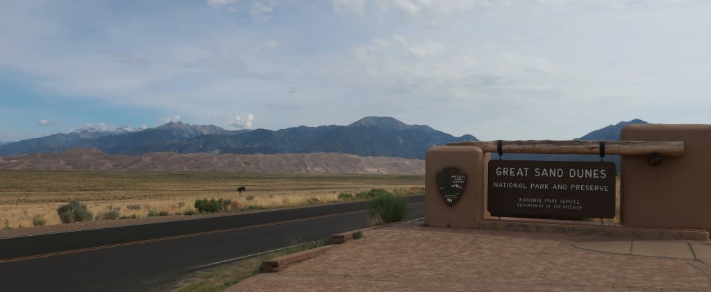
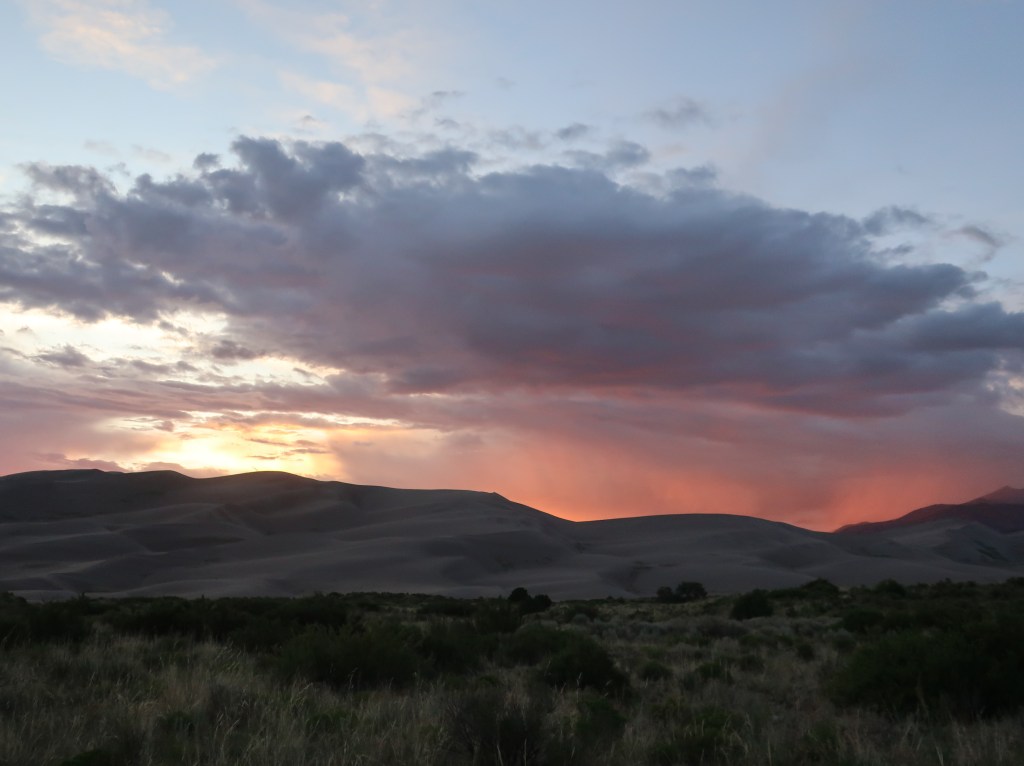
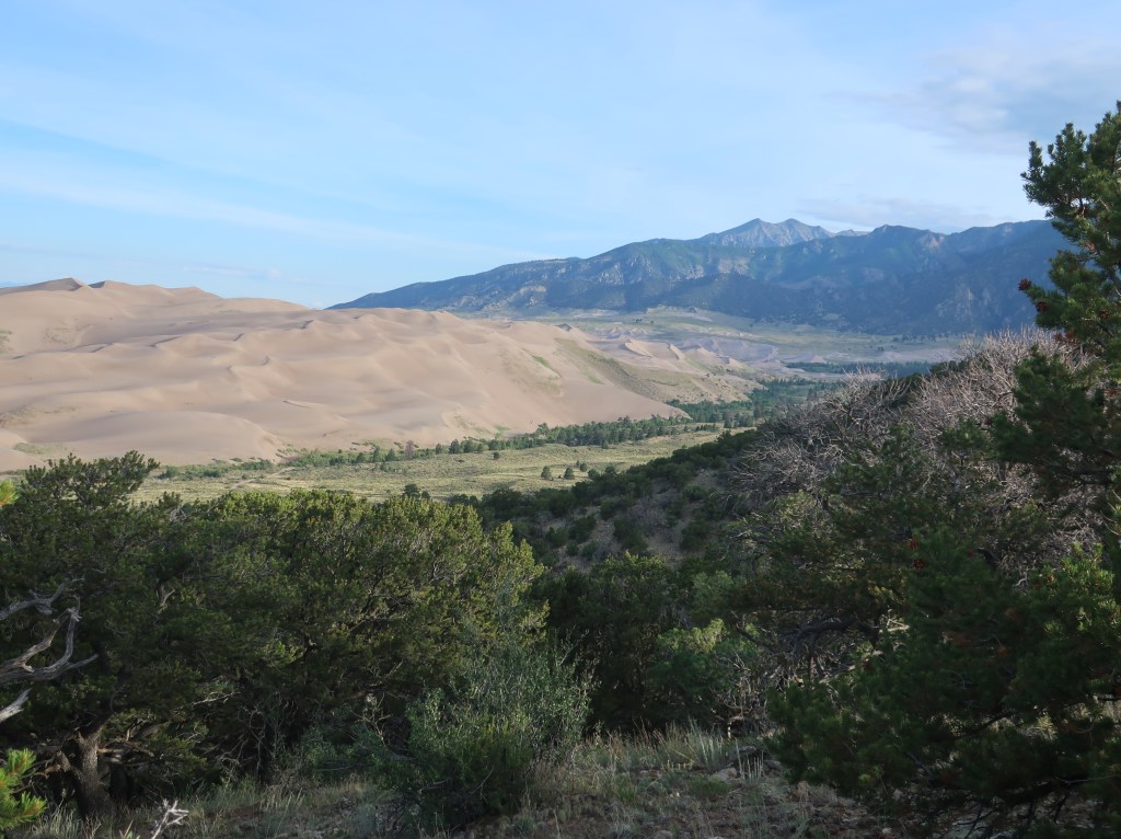
After a stormy start to our visit, the weather did clear just before sunset. Approaching these dunes, they just look so out of place and you wonder how in world did they get here.
The park contains the tallest and widest sand dunes in North America, rising to a maximum height of 750 feet from the floor of the San Luis Valley on the western base of the Sangre de Cristo Range. The dunes cover an area of about 30 square miles.
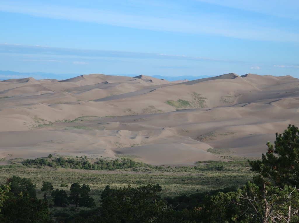
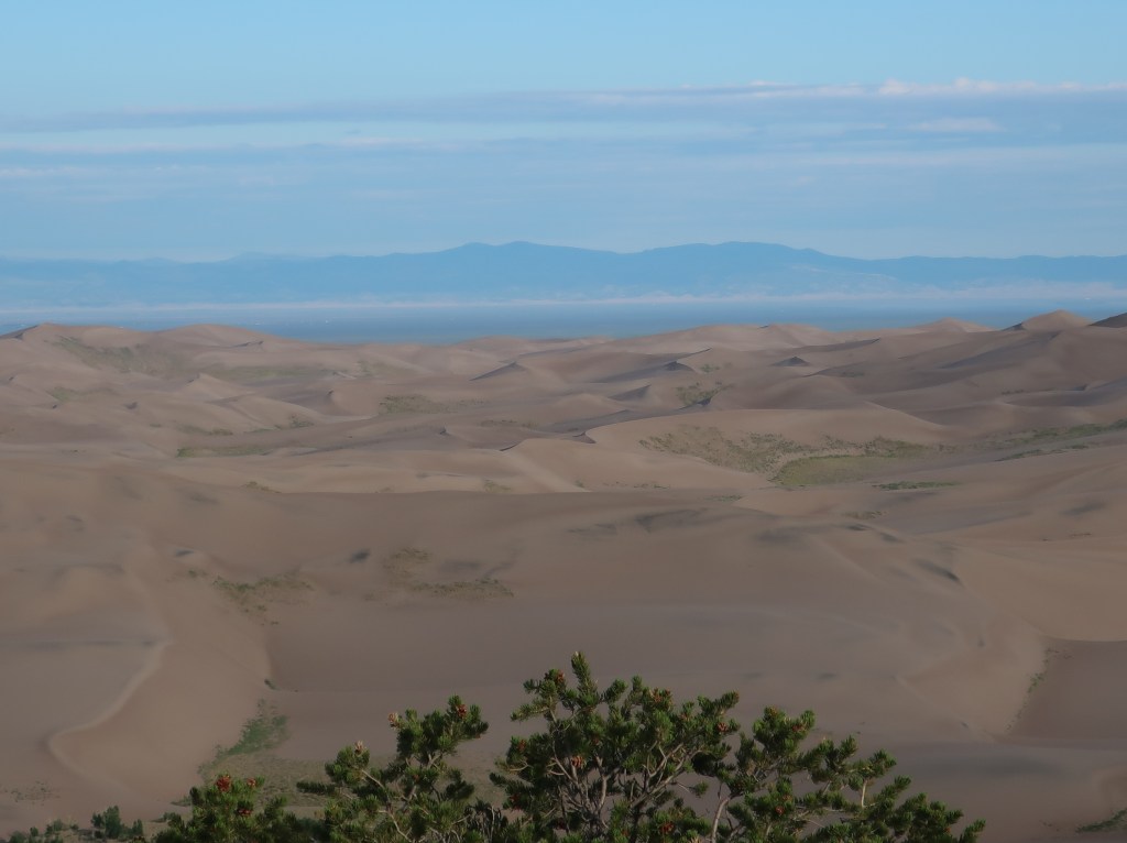
Sediments from the surrounding mountains filled the valley over time. After lakes within the valley receded, exposed sand was blown by the predominant southwest winds toward the Sangre de Cristos, eventually forming the dune field over an estimated tens of thousands of years. Sand that was left behind after the lakes receded blew with the predominant southwest winds toward a low curve in the Sangre de Cristo Range. The wind funnels toward three mountain passes—Mosca, Medano, and Music Passes—and the sand accumulates in this natural pocket.

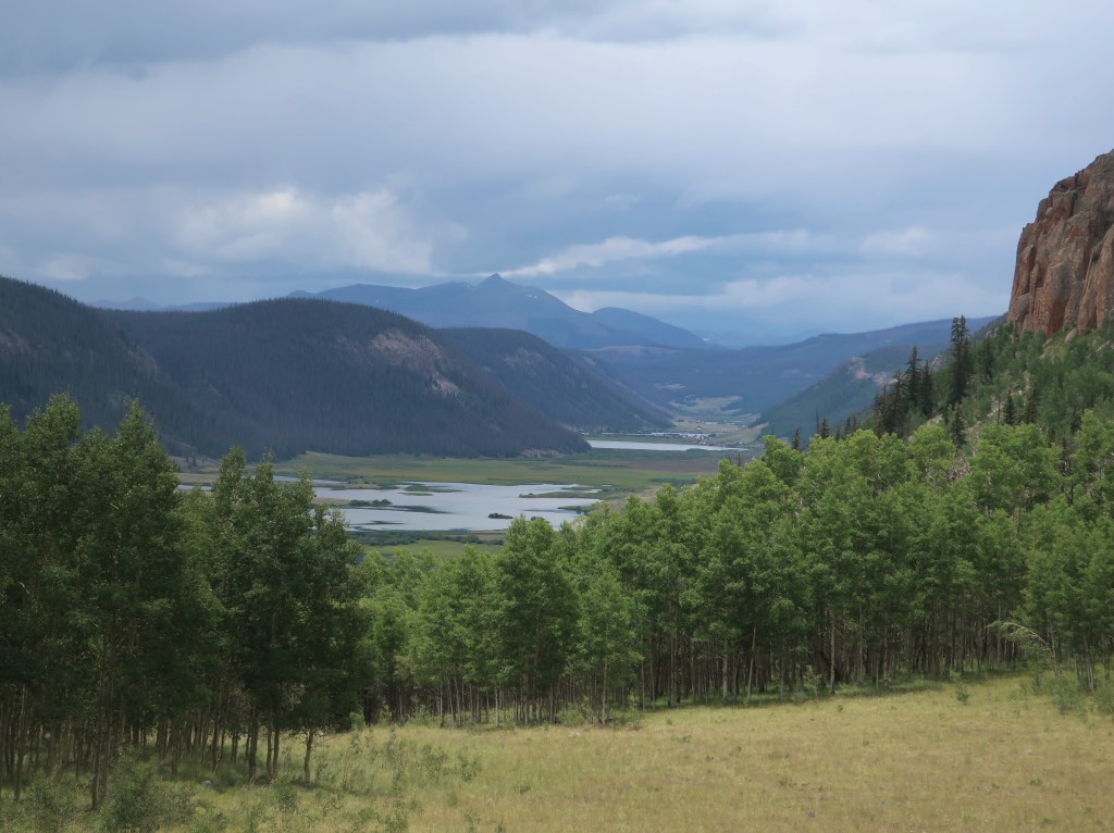
After spending most of the morning at the dunes, we packed up camp and ran hwy 149 towards Cimarron. We hit heavy rain as we crested an almost 12,000 foot pass. Temperature dropped to 50. But what a gorgeous ride when it wasn’t raining. Just can’t describe the mountains, streams, and canyons we saw this afternoon. But below is just a small sampling…
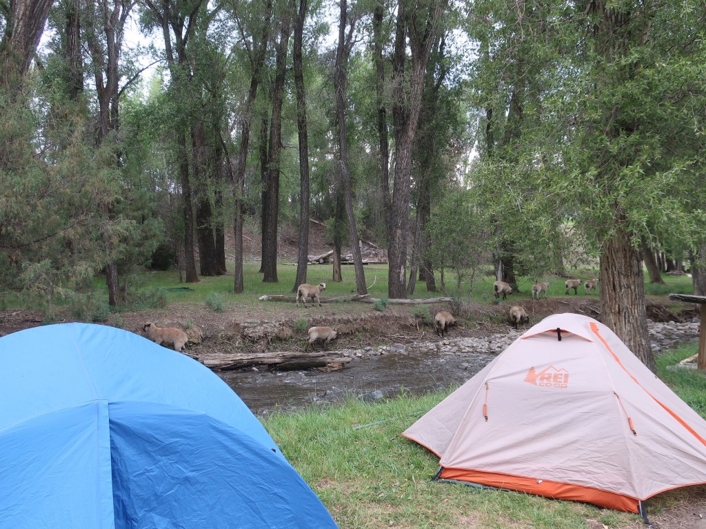
We are camped in Cimarron tonight with the sheep😄

Another day of spectacular photos!
LikeLike
as always beautiful pictures and how you explain where you are is perfect! Enjoy the ride🏍️🏍️
LikeLike
As usual, I’m enjoying the photography!
LikeLike